My hometown: Columbus. Part 6: The East 5th Avenue Hoods
Posted: February 20th, 2013, 10:57 pm
Neighborhoods that should be worth visiting every now and then, but instead are left to rot: an all too common phenomena in Columbus. Kinda explains why one would opt for Minneapolis.
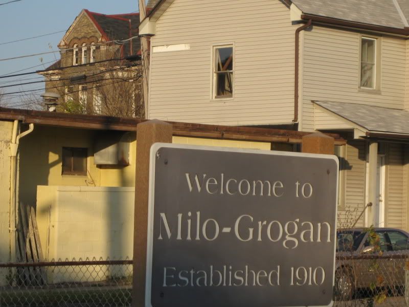
Milo-Grogan
MAP
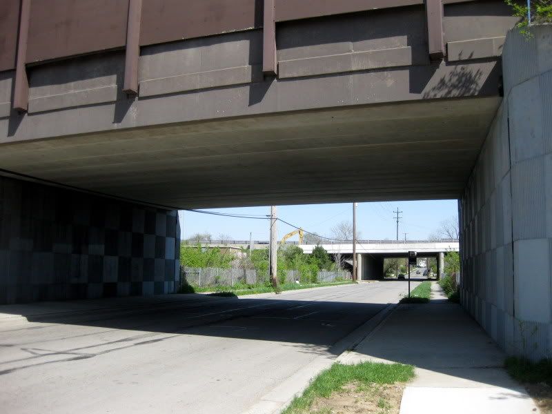
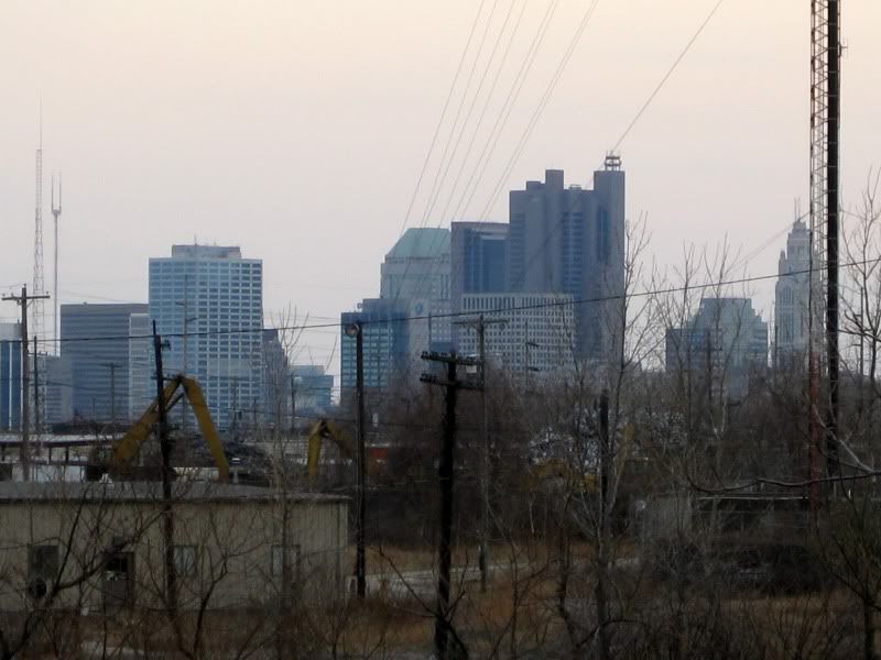
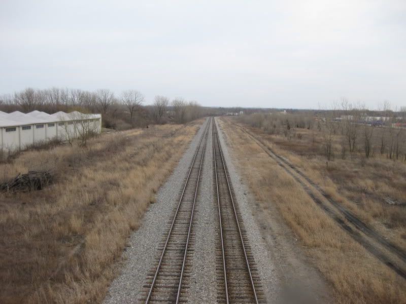
A quick recap of Milo-Grogan: traditionally blue-collar neighborhood (lots of Italians) built by the huge railroad yards nearby and saw 1/3 of the neighborhood bulldozed for highways (I-71 splits the neighborhood in half and I-670 acts as a wide buffer on the remaining southern end) and unlike German Village, has not bounced back yet. The neighborhood mainly functions as a stepping stone for suburban commuters speeding through along the highways or suburbanized main streets.
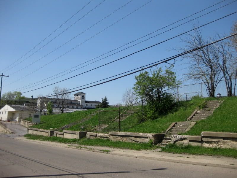
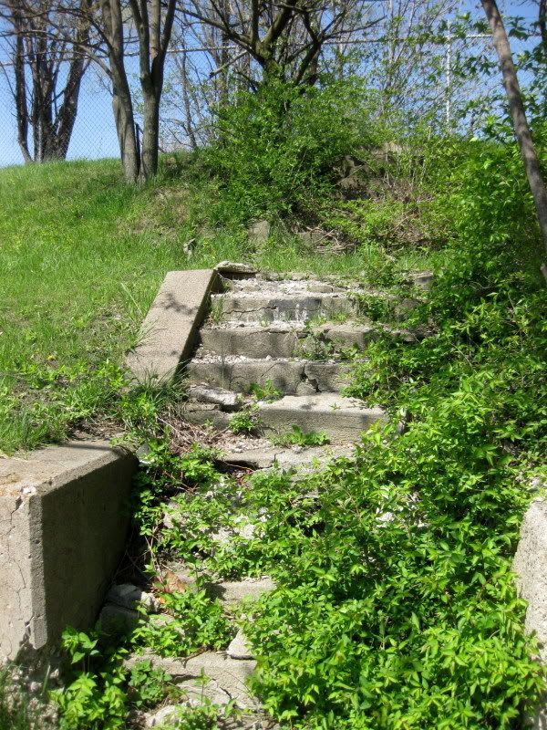
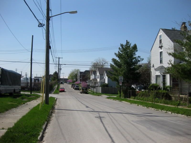
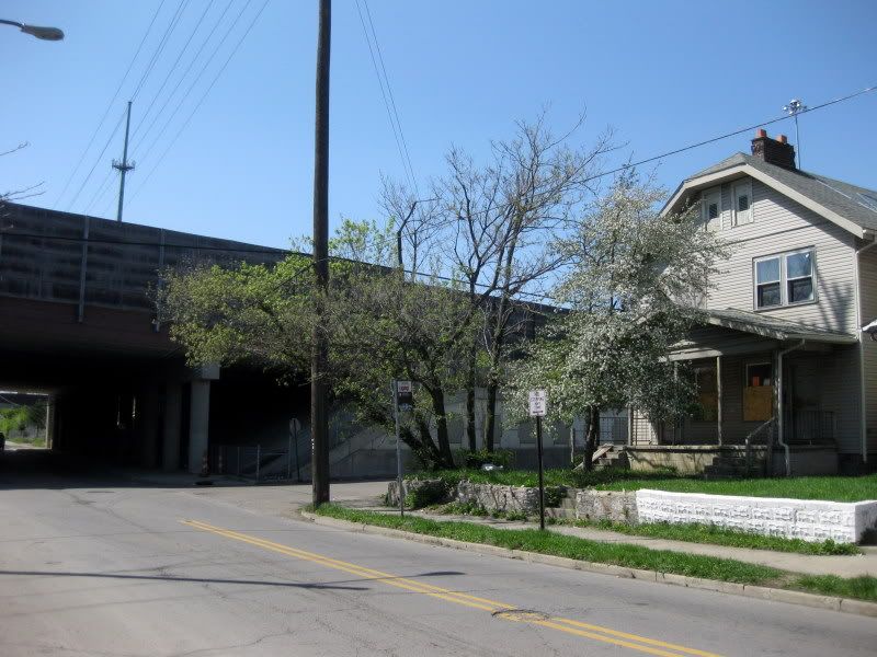
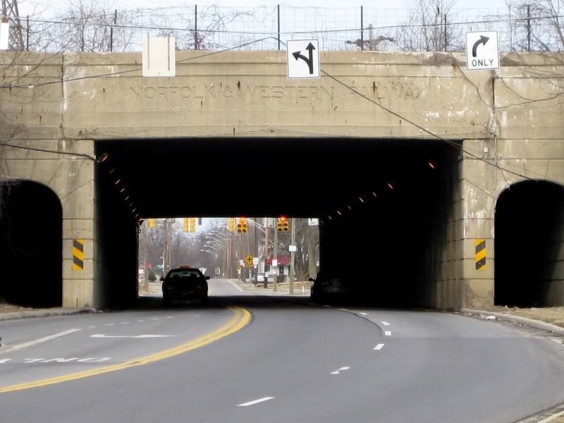
After entering the railroad bridge gateway to the neighborhood there's a bit of an incline. Here you can see where more homes once stood.
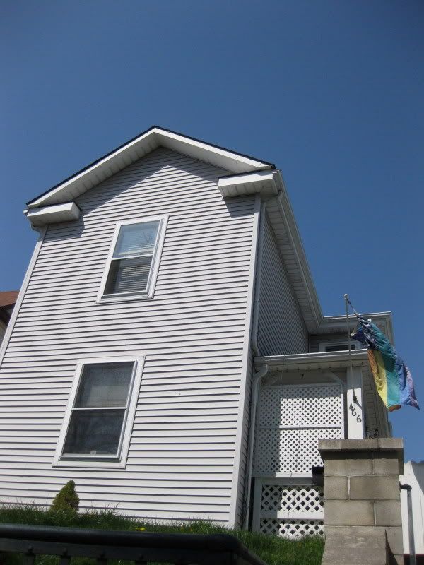
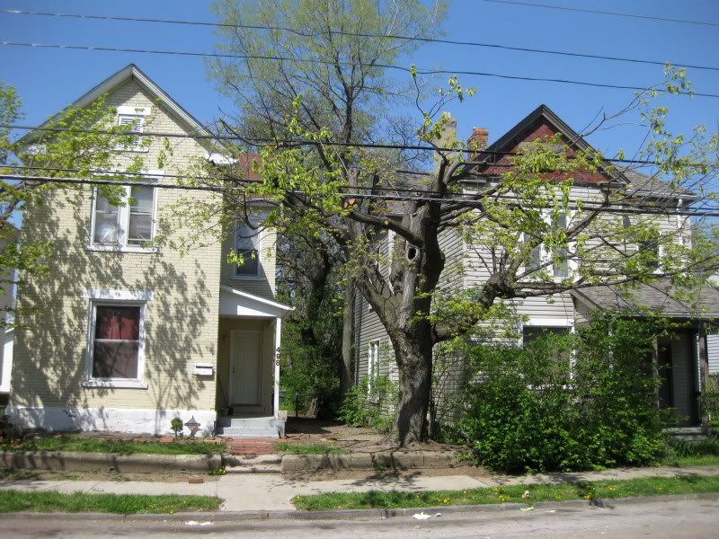
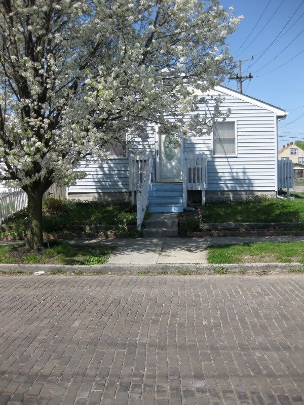
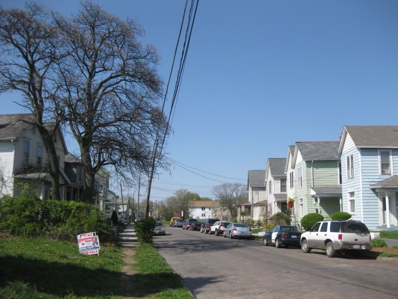
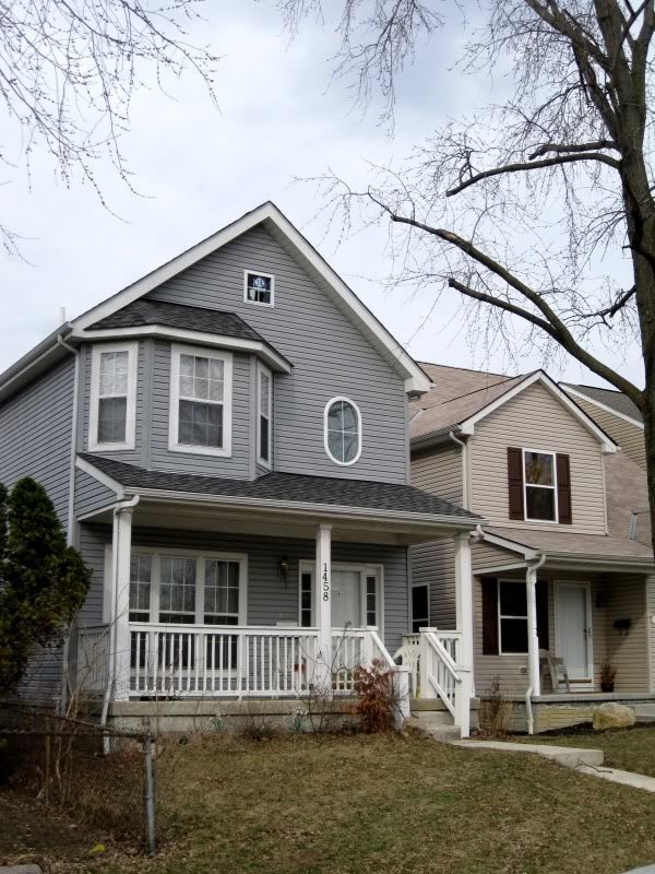
It figures that this residential street right that's the link closest to Italian Village would be the first to have a rainbow flag pop up.
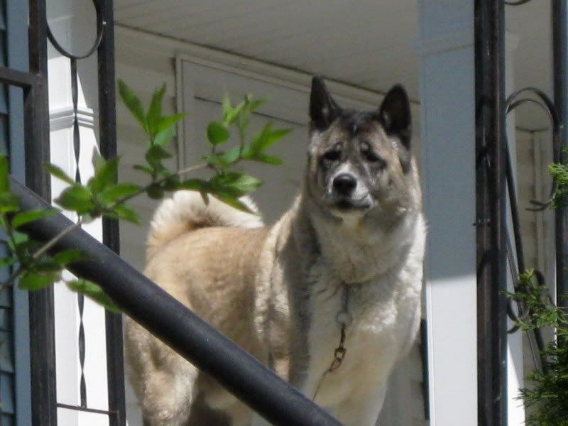
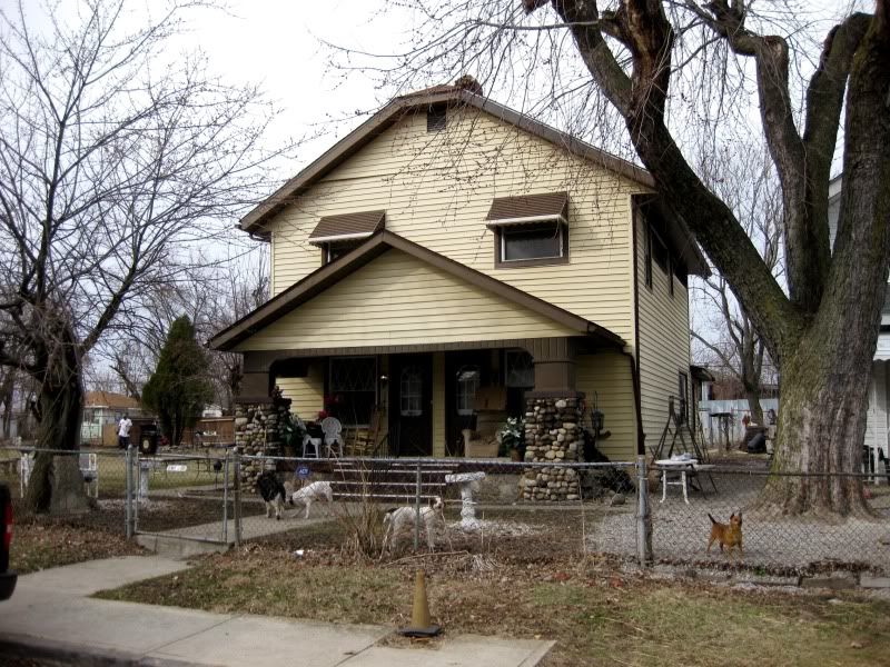
Oh, hi doggy.
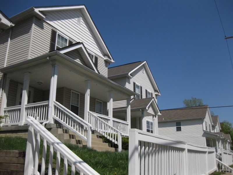
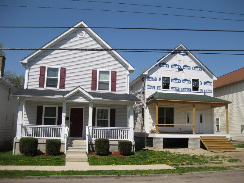
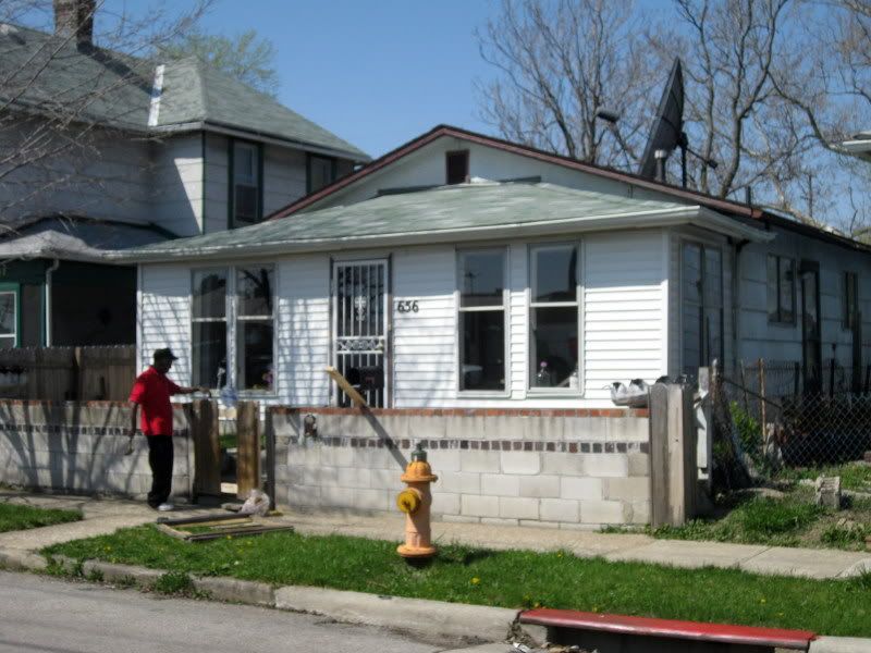
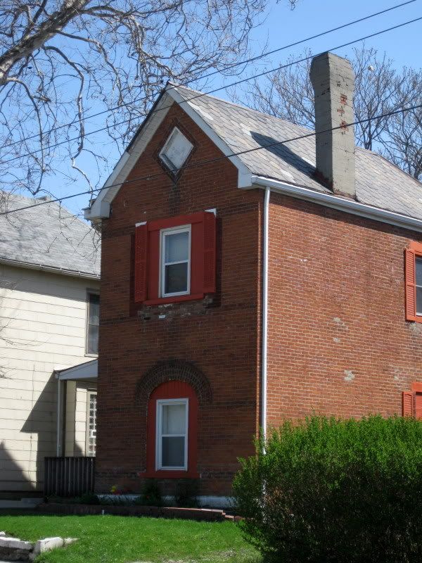
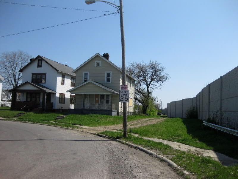
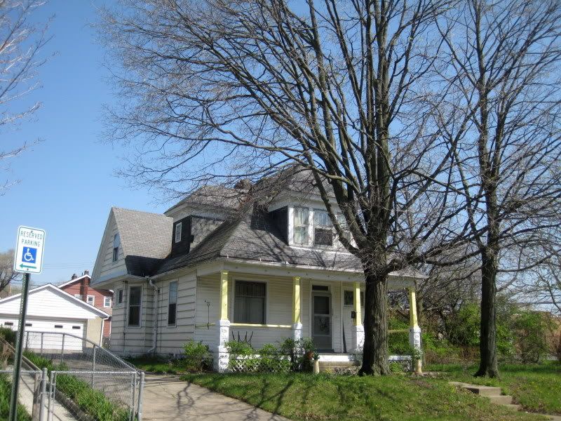
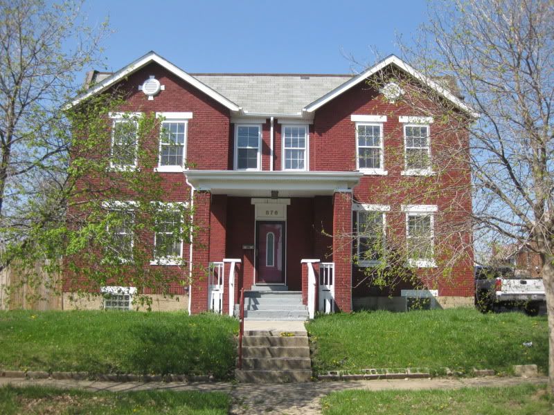
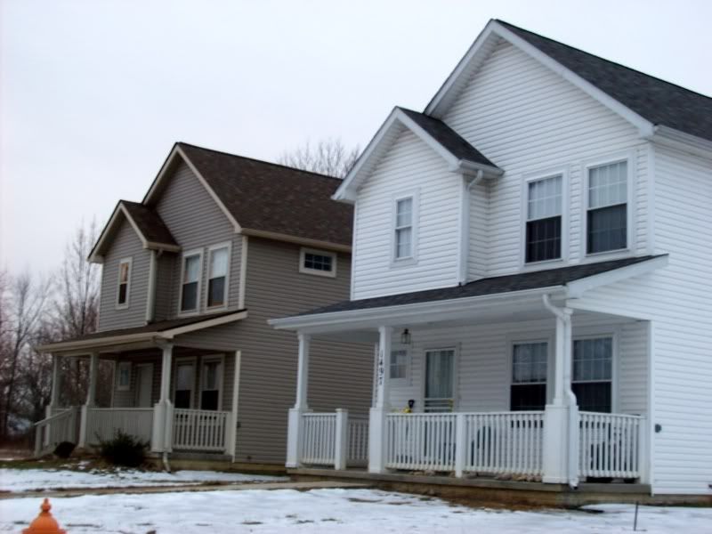
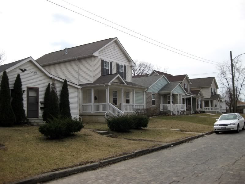
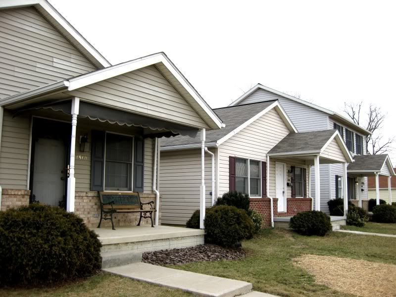
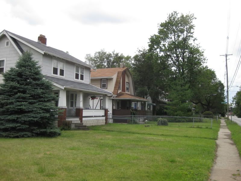
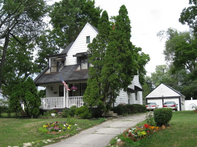
While some homes still need work you can see that a few improvements are going on here and it's doing better than the east half.
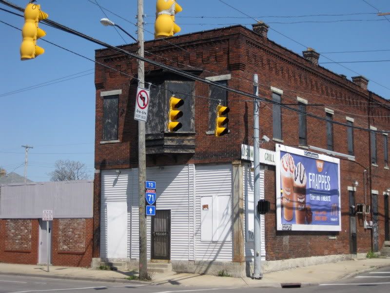
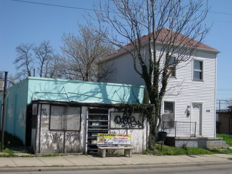
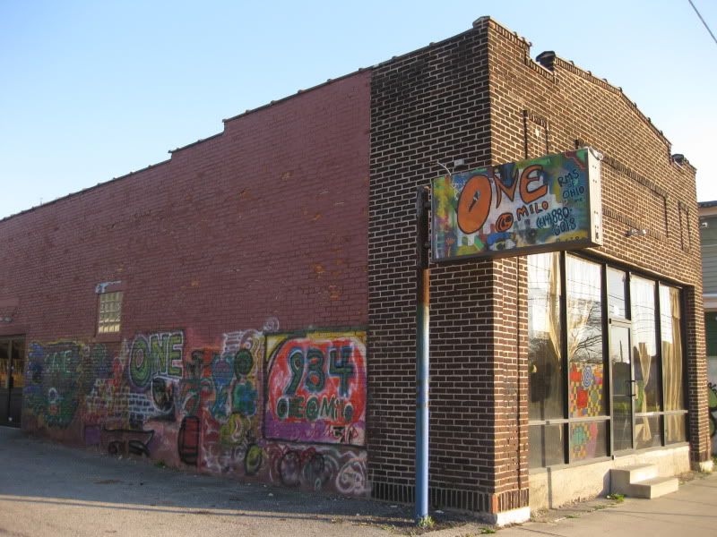
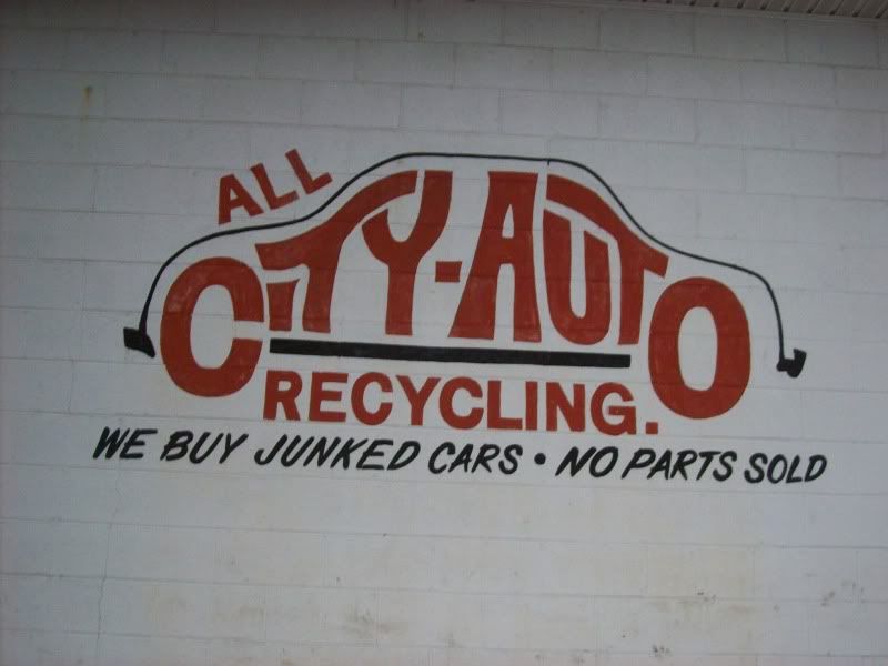
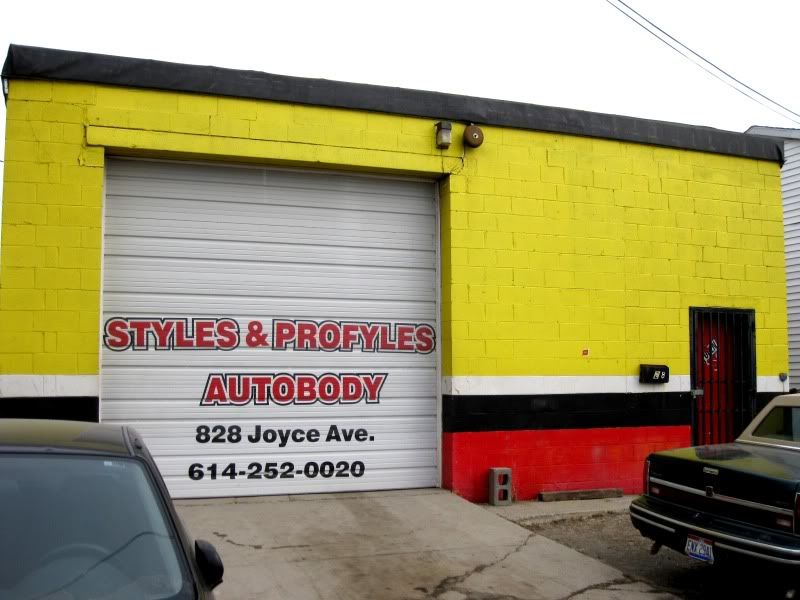
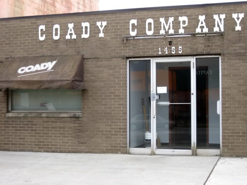
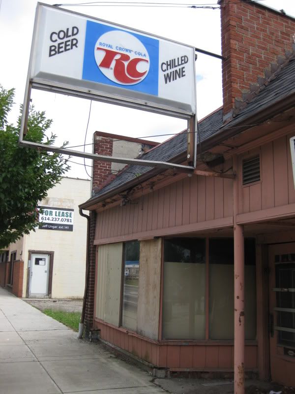
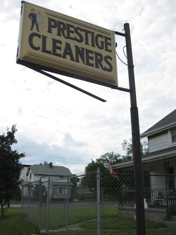
Ironic advertising: using the corpse of a dead local business for a McDonald's product that is vastly inferior to what is offered by numerous coffeeshops just west of here.
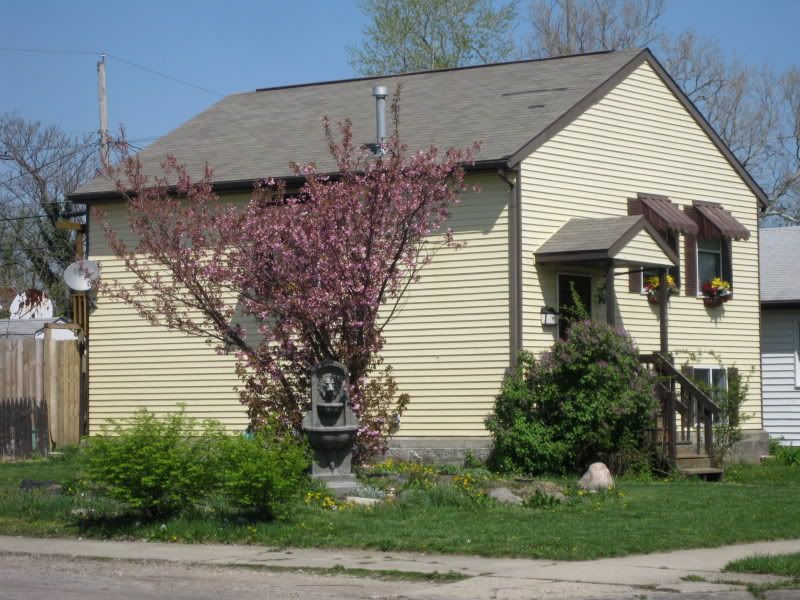
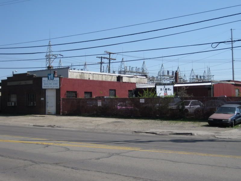
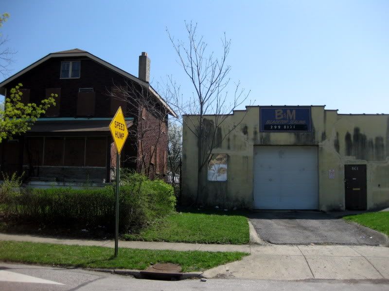
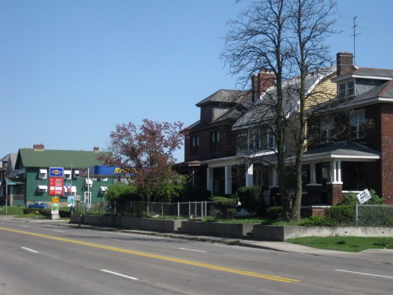
A common sight here and in the south end of neighboring North Central: industrial abutting residential. The fuschia trees are a nice touch.
This is I-71.
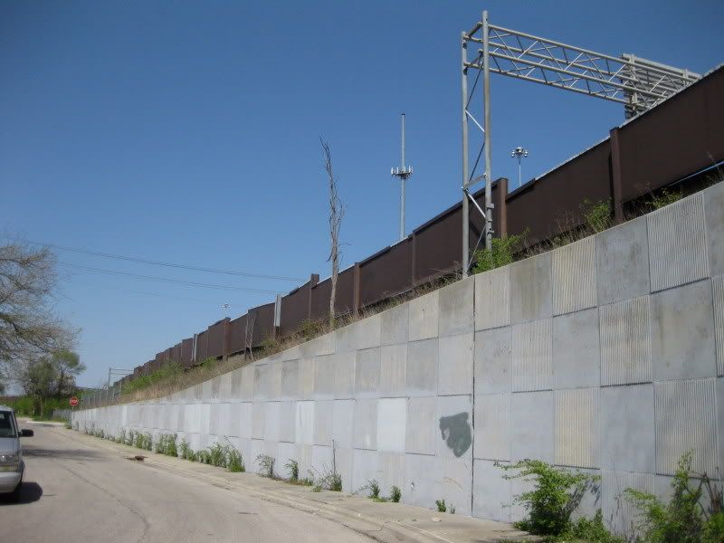
Crossing from this side
to the other side.
I could hear work being done on the highway. How about ODOT spending some of that money on the neighborhood that they helped messed up?
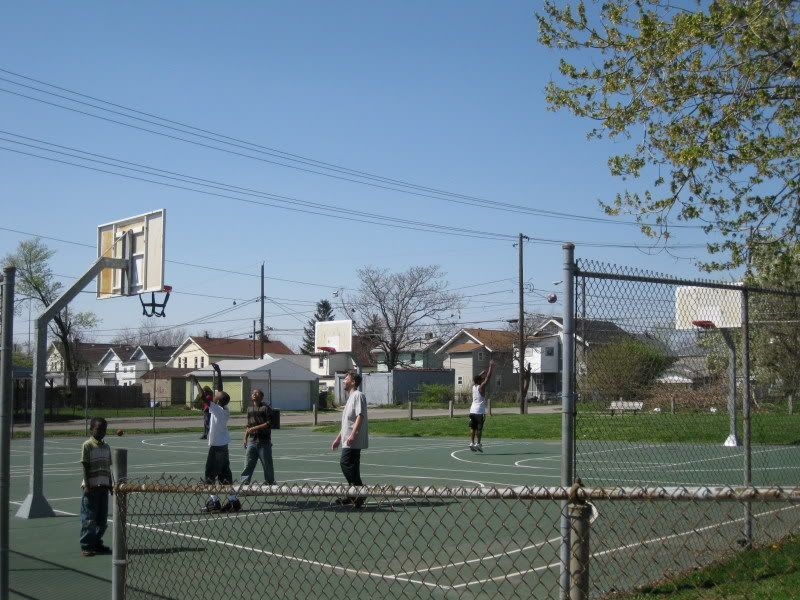
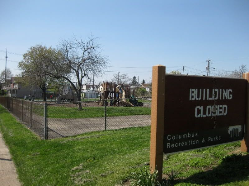
Here's the still usable outdoor area of the neighborhood recreation center. I was even invited to play some b-ball and was kinda tempted, but I was pretty busy.
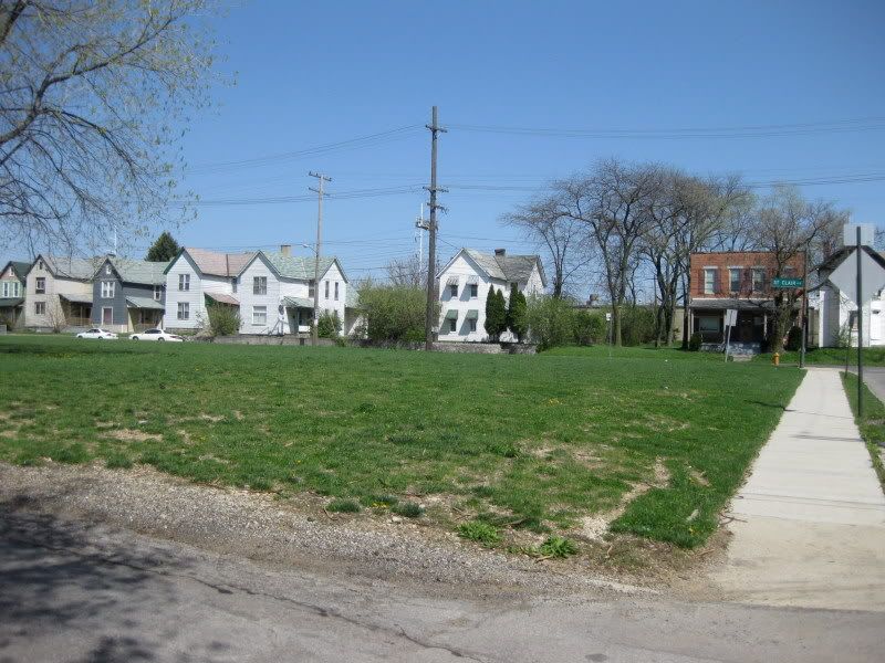
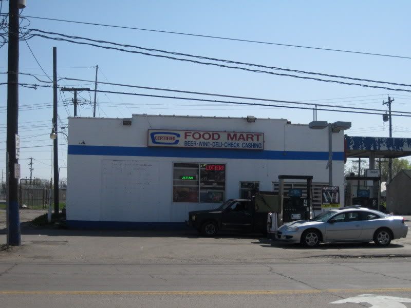
A couple of businesses on St Clair: a bar and a grocery store (people still complain about Downtown not having a grocery store).
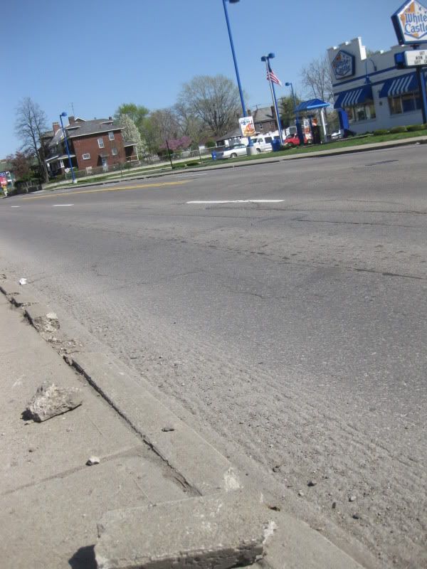
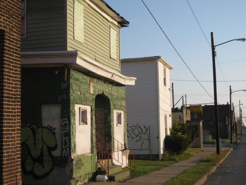
E 5th Ave is the saddest street in Columbus. I just walked half a block east from St Clair and could feel my soul being sucked out by this trash-lined, ugly arterial road.
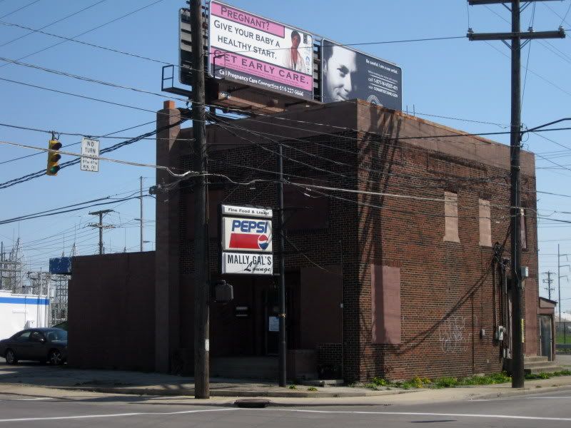
Mally Gal's Lounge: best bar you never heard of.
I hear this is rather good diner.
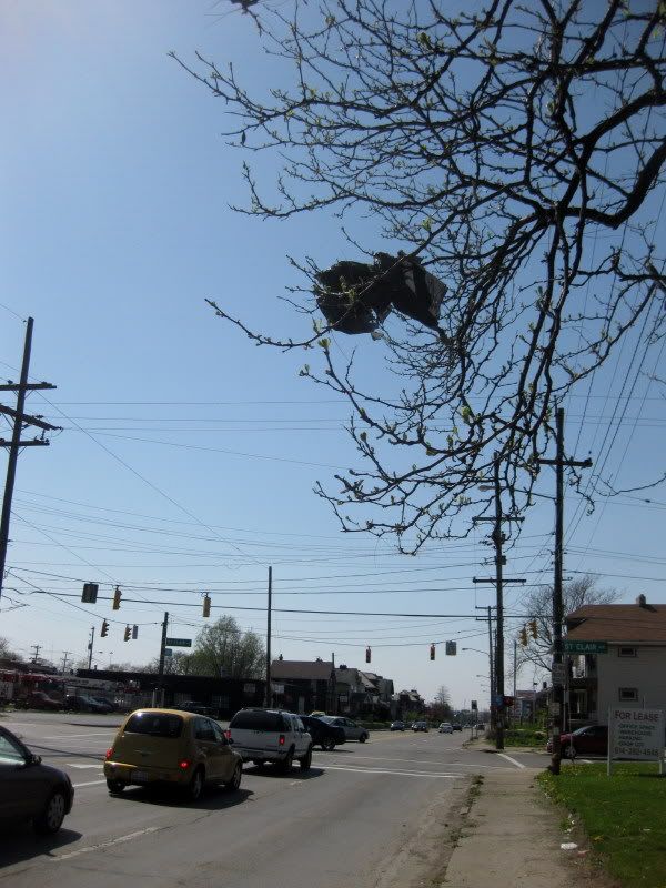
See? There's even trash growing on the trees here!
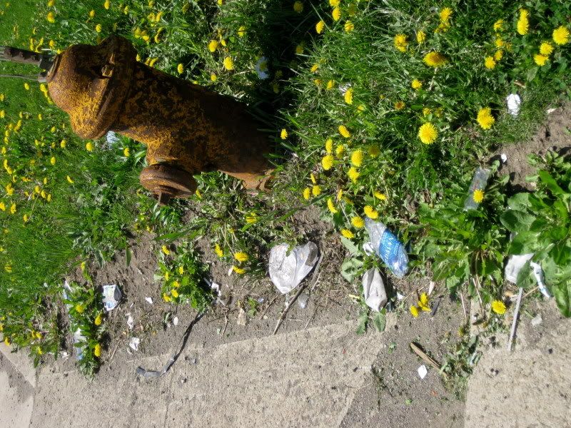
Seriously, E 5th Ave is used as a trashcan by motorists passing through here and traffic is going 50MPH. It needs help real bad and is really nothing more than a mini-highway even though 670 is just a couple blocks south. Now for the NE quadrant continuing up St Clair.
Nice.
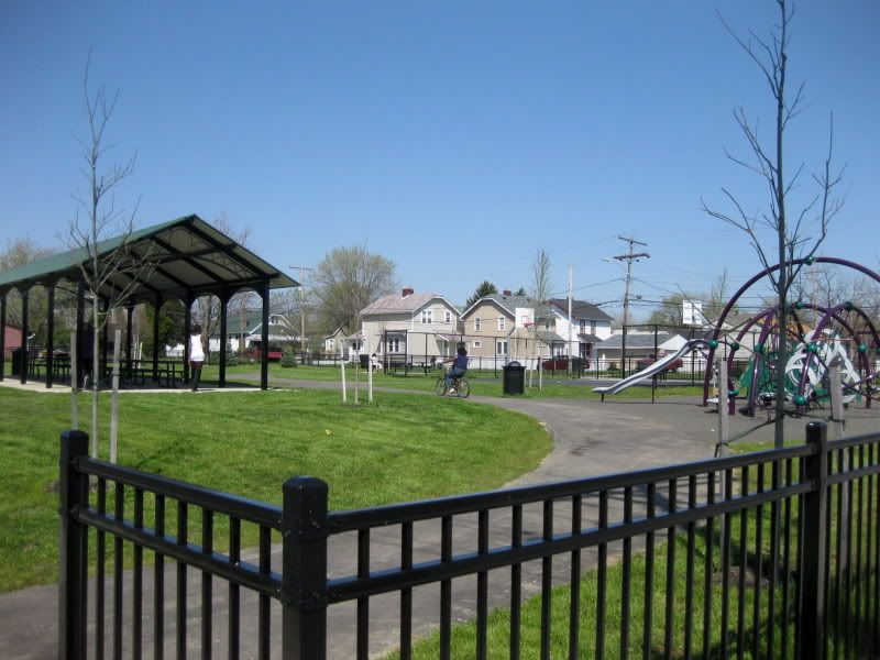
Ooh, a new playground.
Heading east...
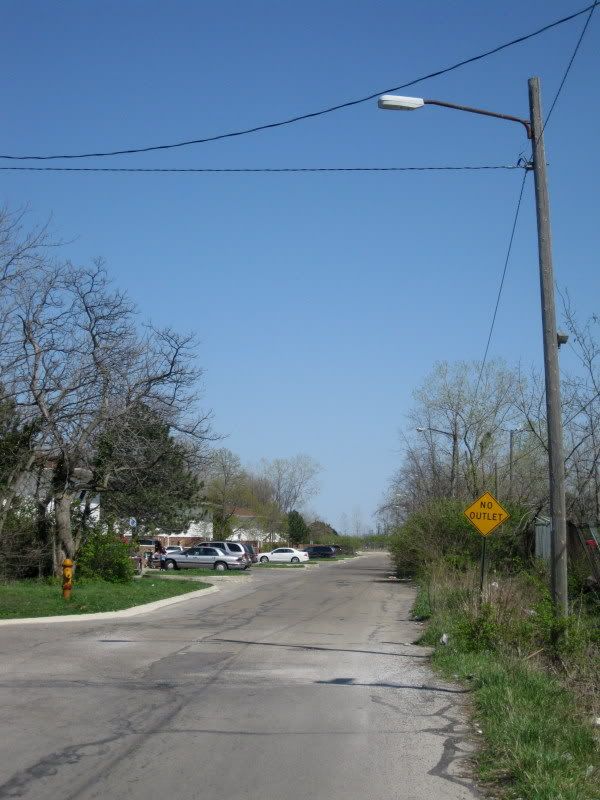
Umm, where are the sidewalks? What's happening? I think I'll head back to St Clair.
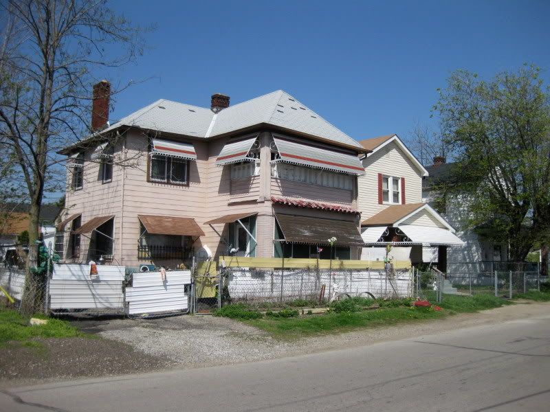
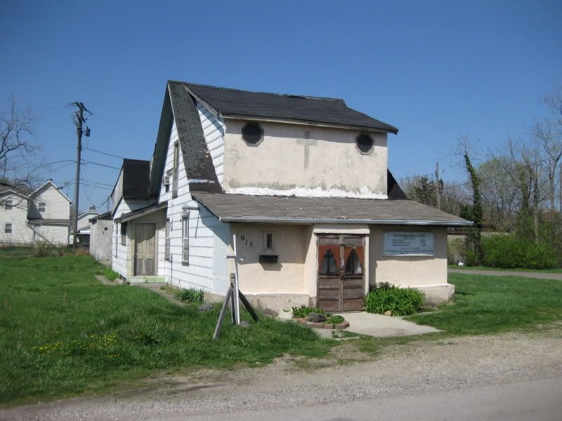
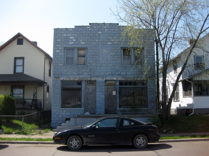
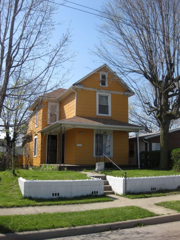
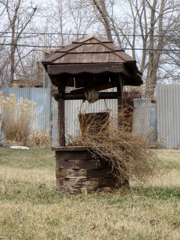
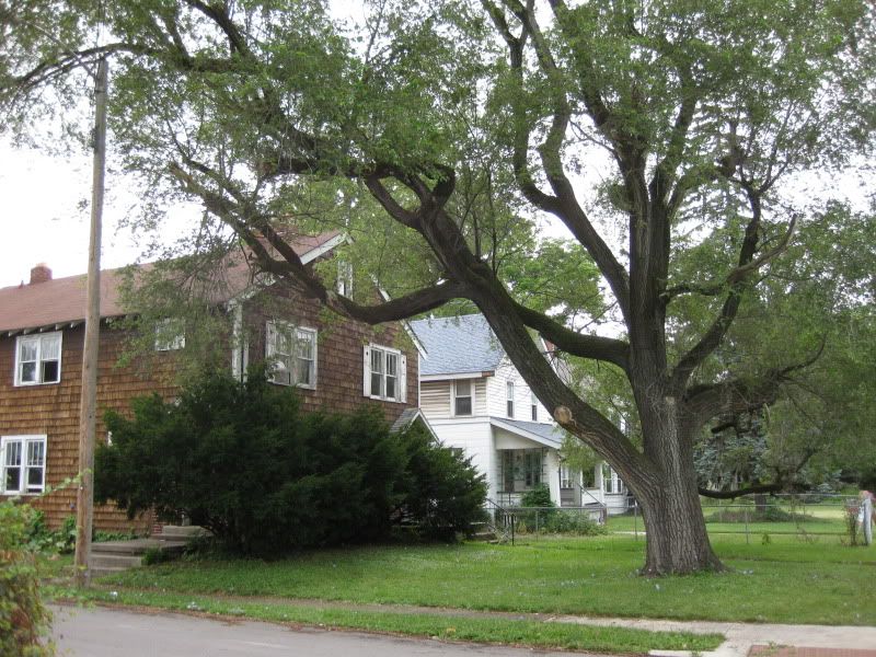
Not quite sure what it is, but I like it.
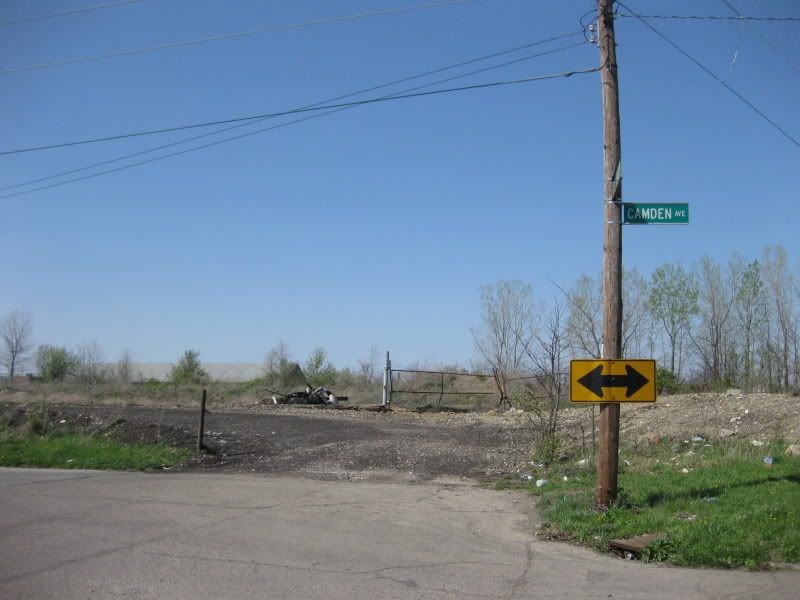
End of the road.
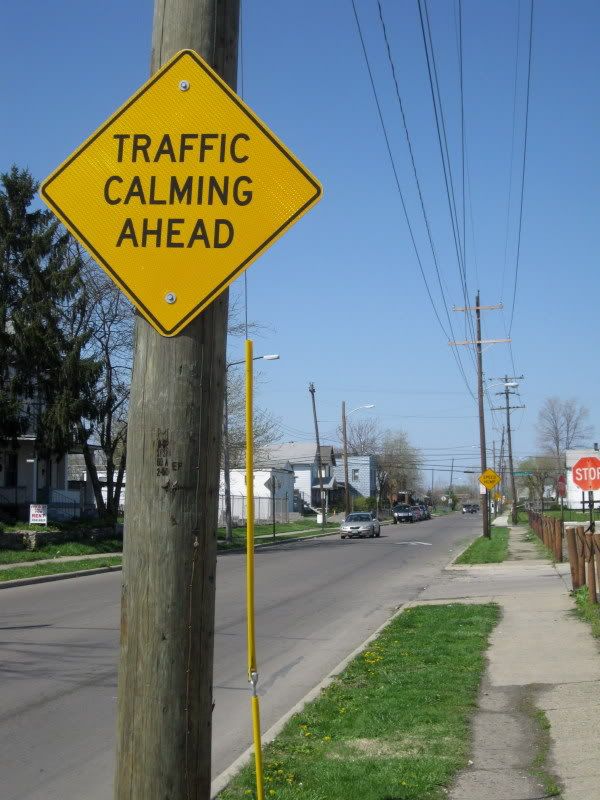
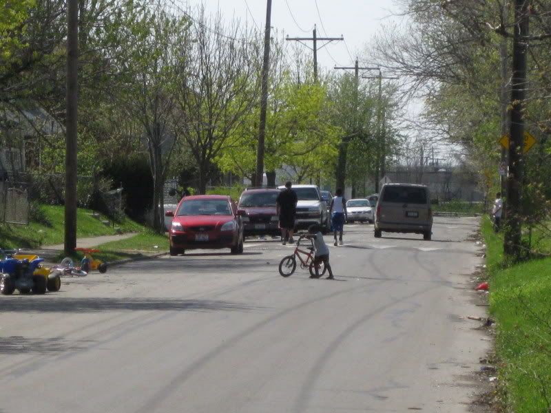
Another traffic calmed street: kids playing in the street and the driver slows down accordingly. I saw quite a few people hanging out on their porches here.
Is that Jewish graffiti on that house?
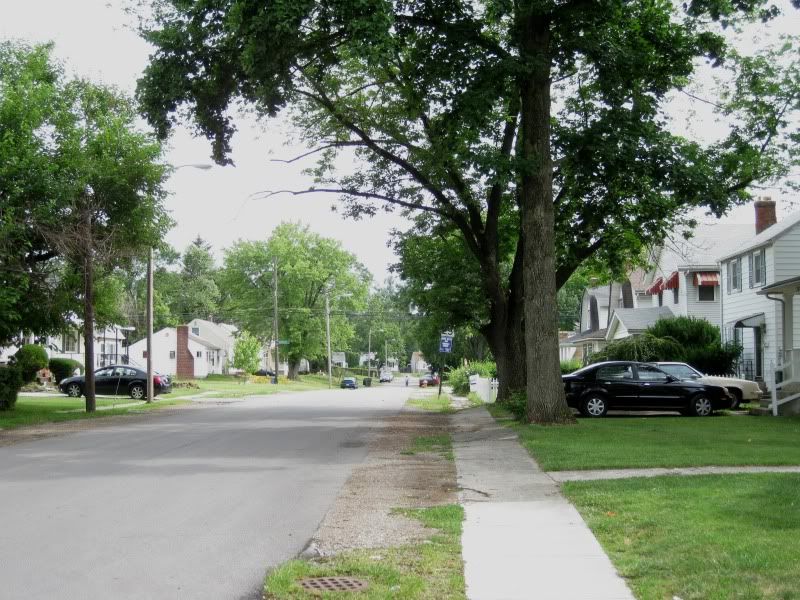
Not a pedestrian-friendly street.
Actually, that's probably not good for those residents' property values. What @ssholes.
Where the sidewalk ends.
Ice cream!
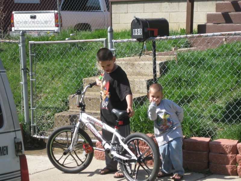
Some of the friendly residents.
And few bonus shots of Cleveland Ave from Fall 09.
North Central
MAP
North Central is a large, unknown neighborhood, one of the most off-the-beaten-path places around. Industrial, rural, residential, ghetto, all rolled into one. It's rather sparsely populated and the city has divided it into several sub-neighborhoods.
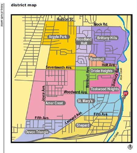
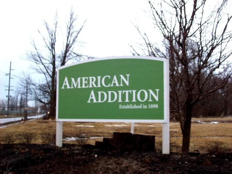
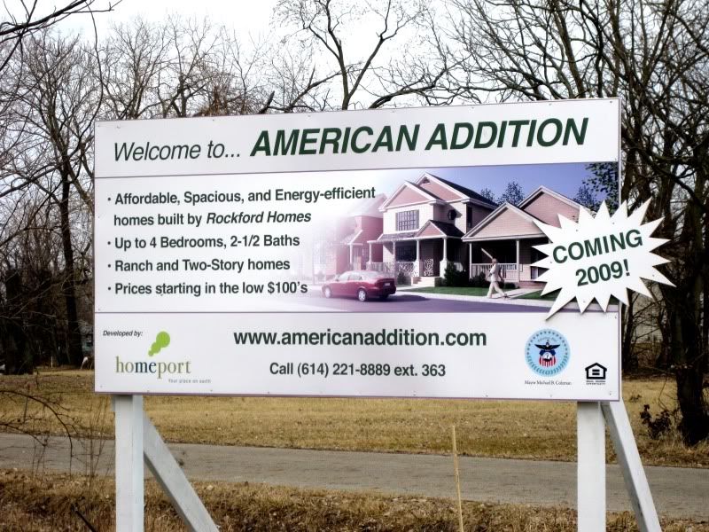
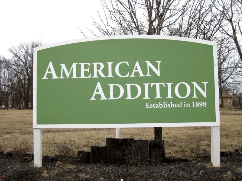
(from the city of Columbus *American Addition and Leacrest have been combined in this map into "Amer Crest", probably a typo since there was an article on the area where it's called the easier to pronounce "Americrest")
I covered Devon Triangle and American Addition. So, yeah, here you go.
East Columbus
MAP
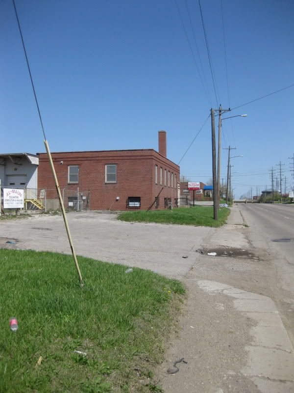
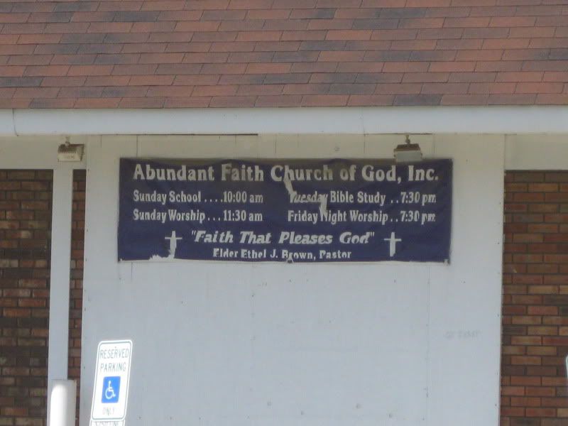
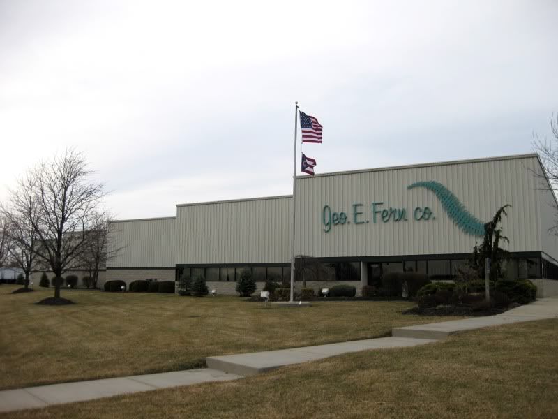
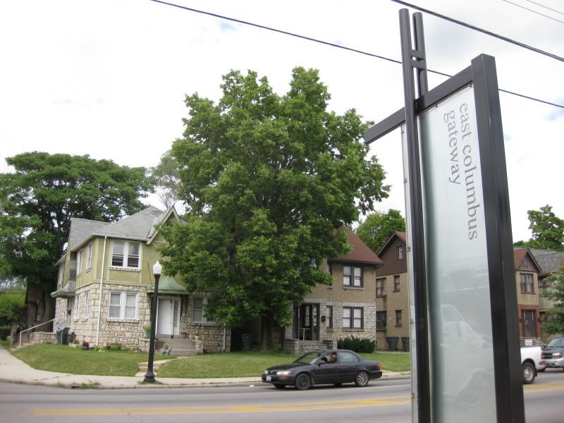
The neighborhood of East Columbus (scroll down) tells the same sad story of other near-northeast neighborhoods: industrial and cultural decline, disinvestment from the city, isolation from the city, etc. Maybe I'm not as optimistic, but the only change I saw was very superficial, in the form of new signage. East 5th Ave is still a traffic sewer and businesses have closed while other commercial buildings sit abandoned. I checked out a National Night Out Kickoff event there, but the event took place in a local park tucked away in a residential area, not out on the main street. It takes a good imagination to imagine what it was like in it's heyday, but even a dilapidated neighborhood business district is better than none at all. I mainly focused on E 5th Ave and went off to a couple of residential streets. In the central and northern part are large industrial areas which I only grazed.
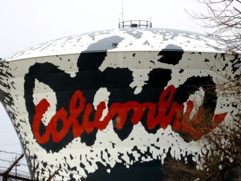
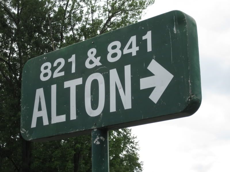
Welcome to East Columbus!
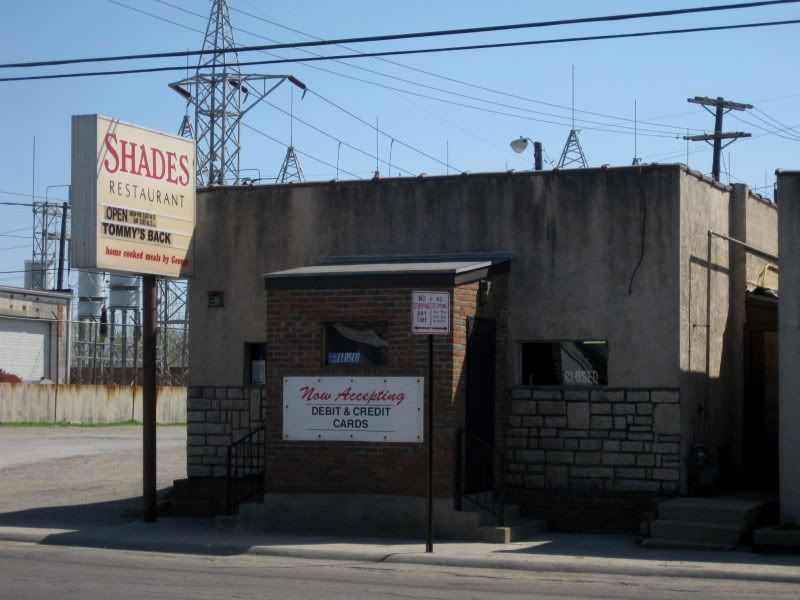
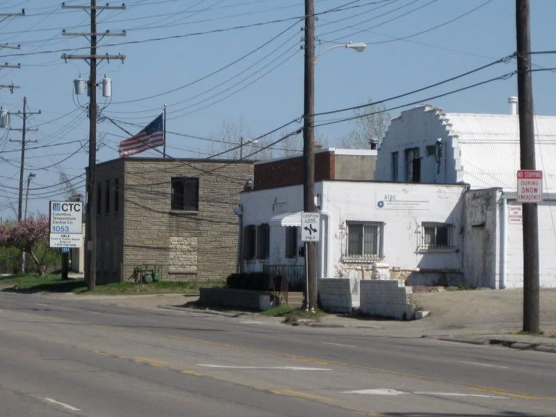
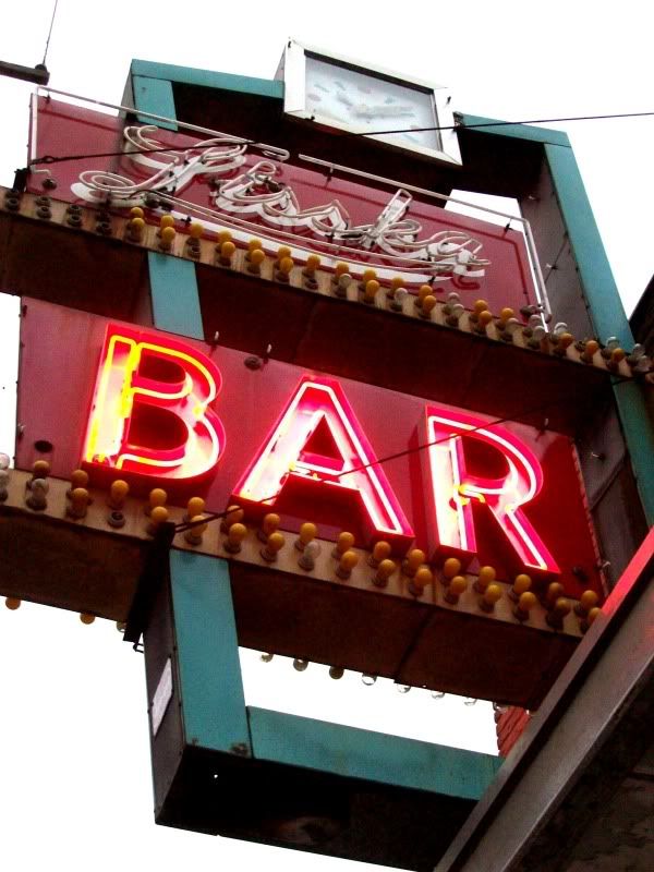
A bar lost in time. Weird place. I recommend stopping in.
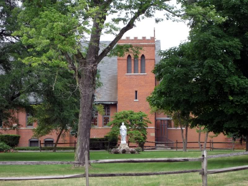
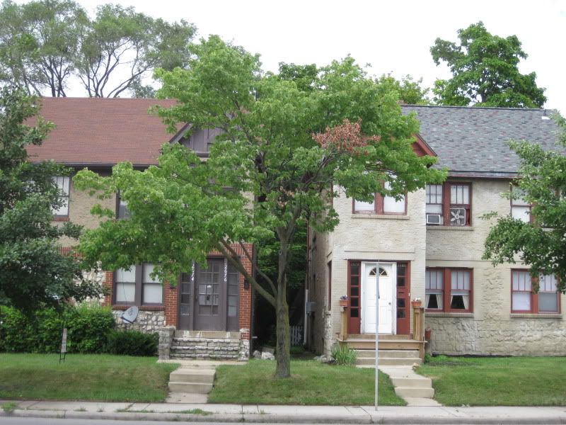
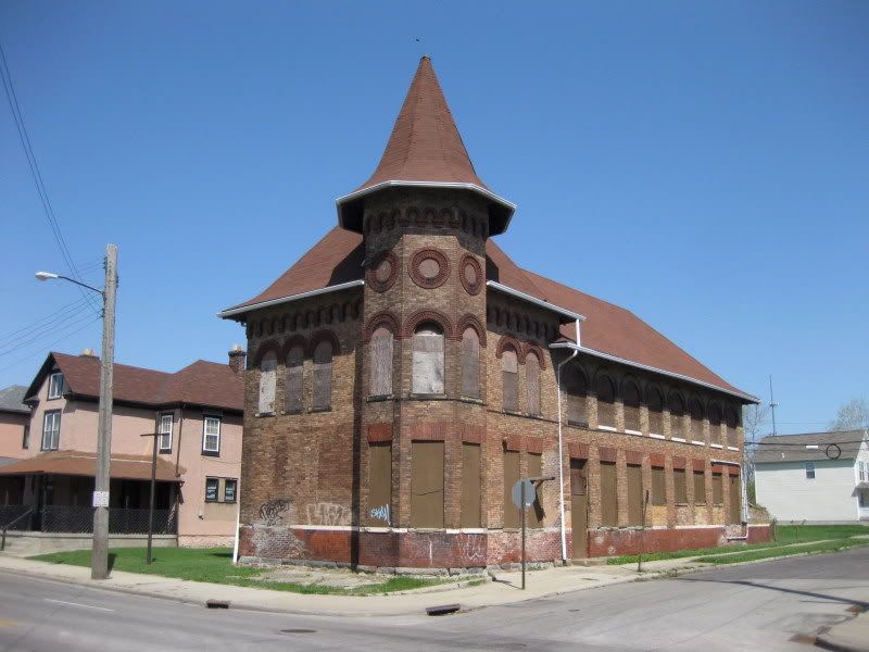
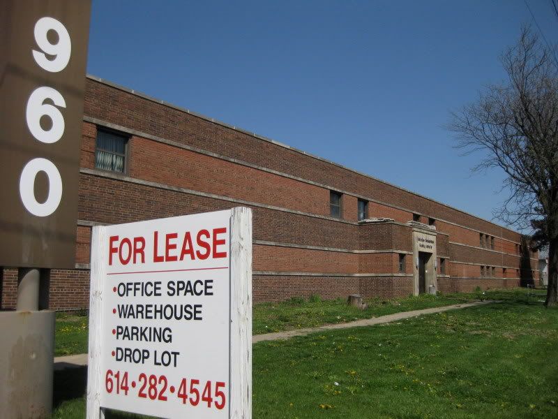
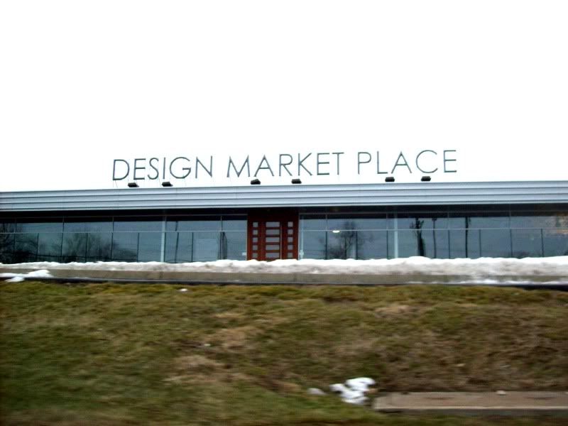
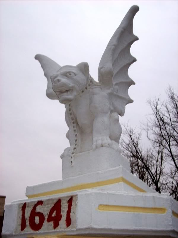
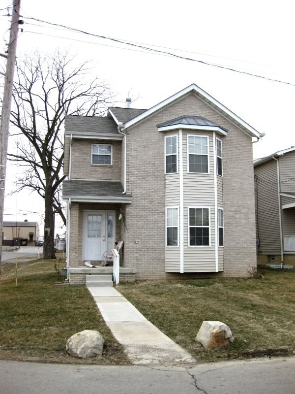
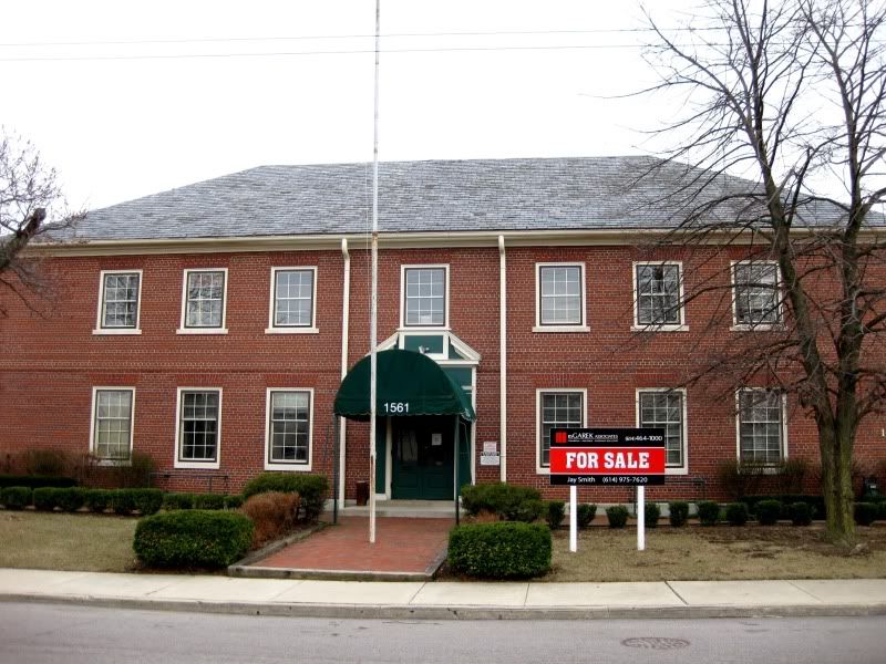
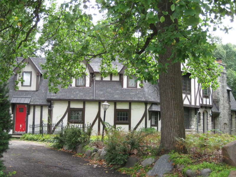
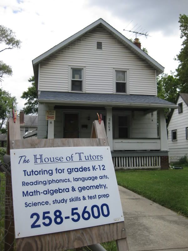
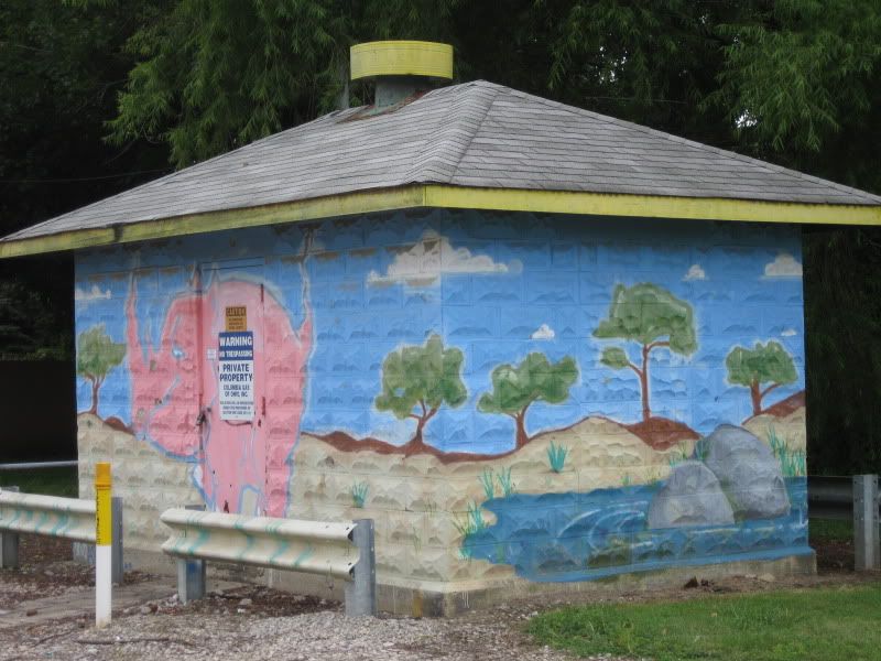
A nice surprise.
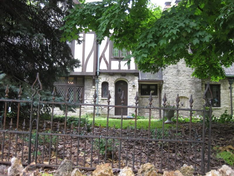
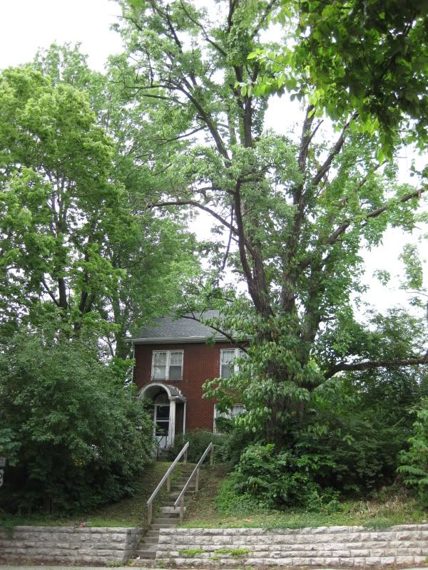
Here's another view.
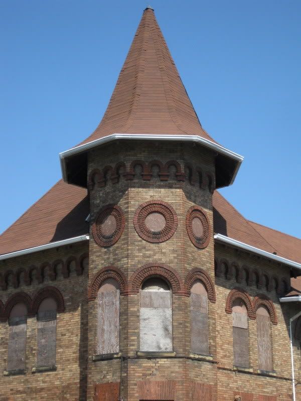
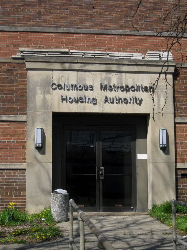
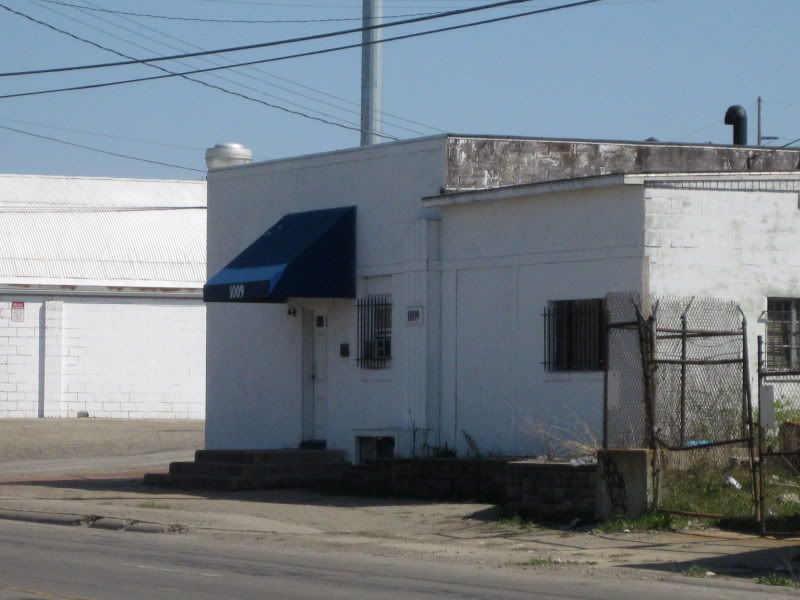
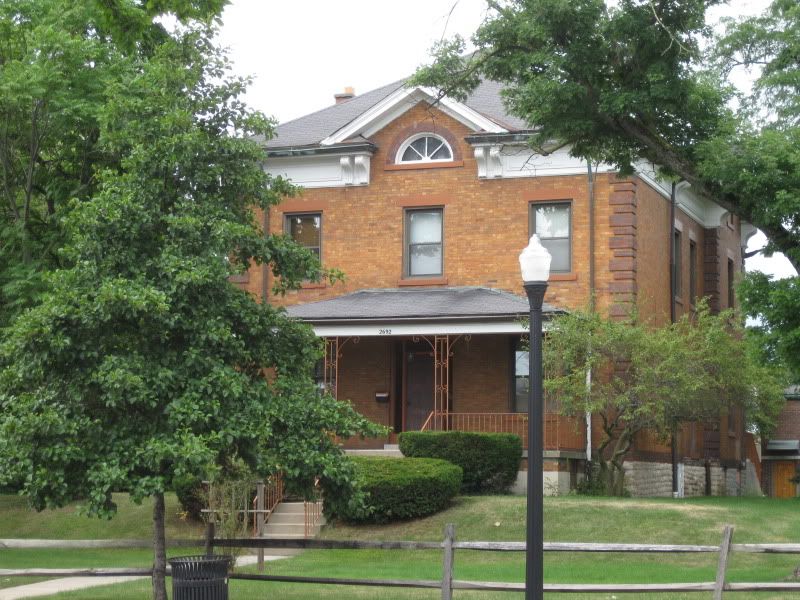
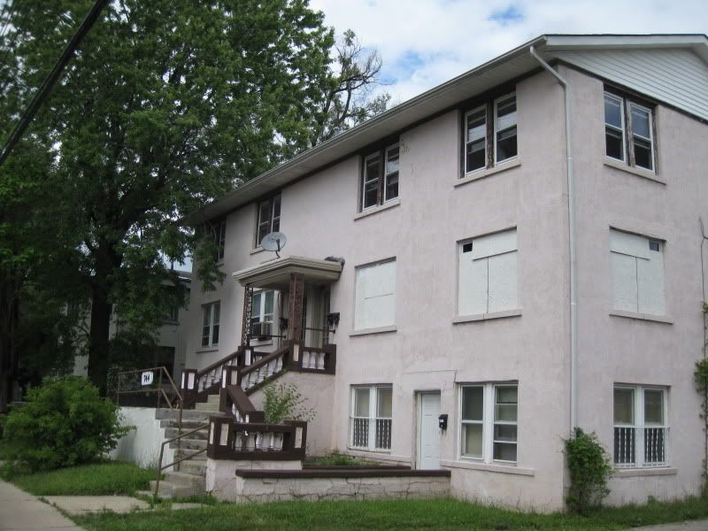
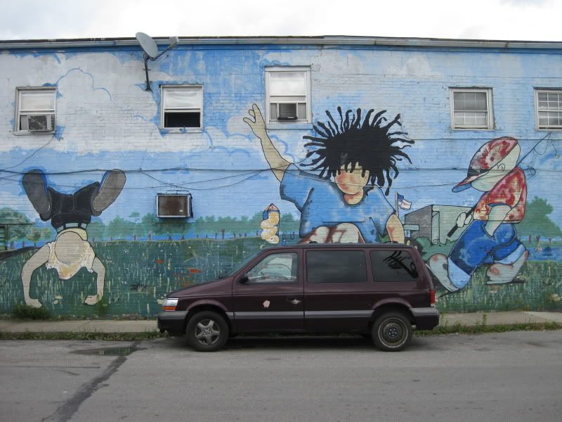
This is pretty cool.
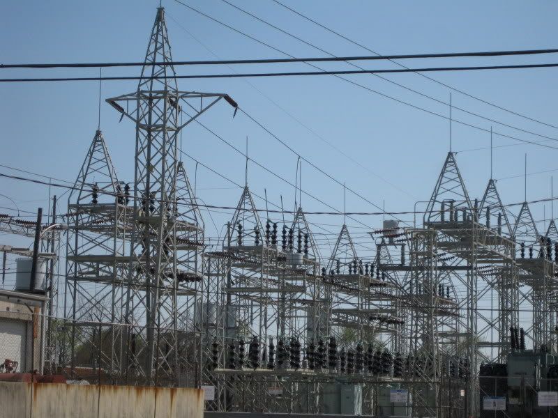
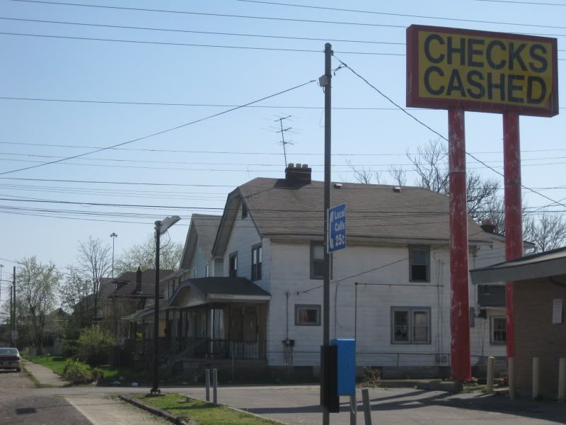
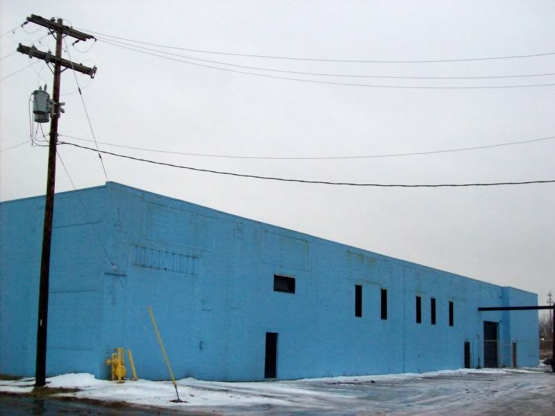
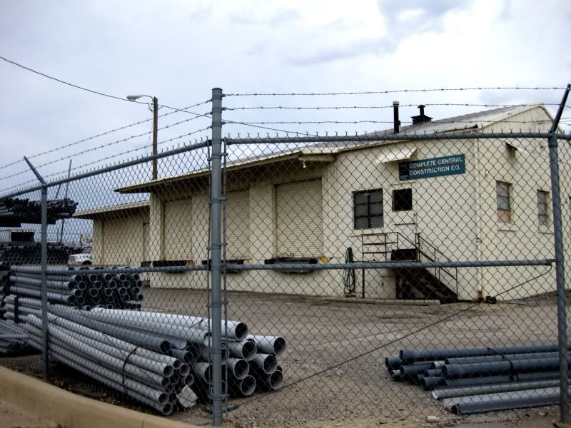
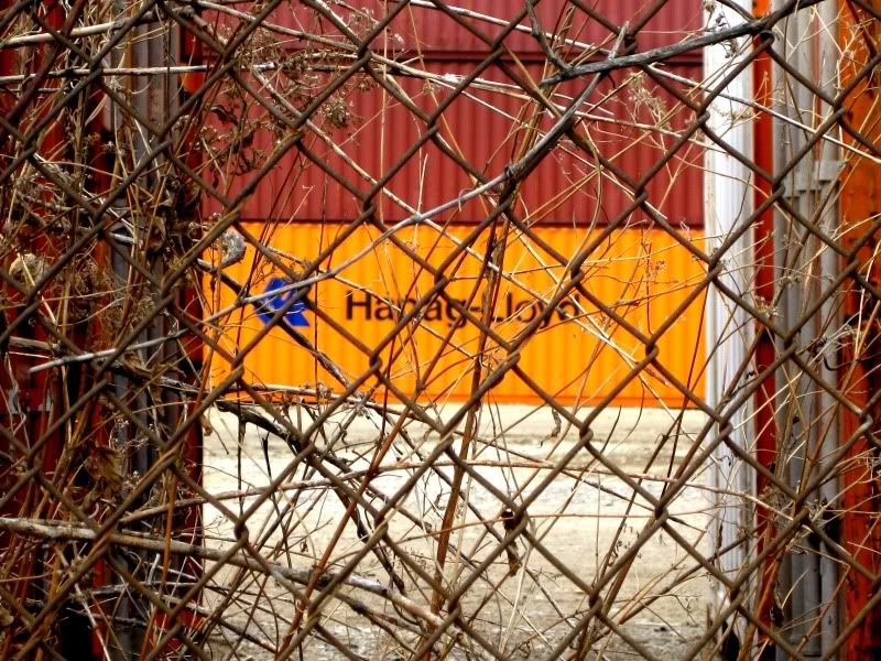
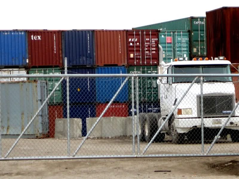
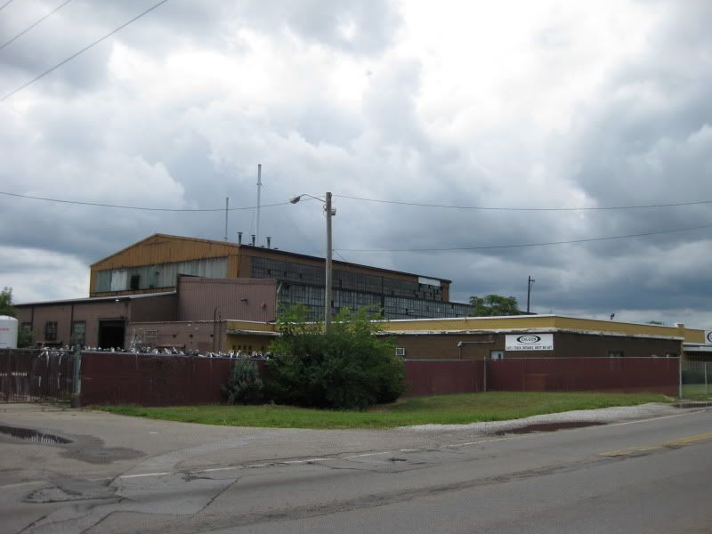
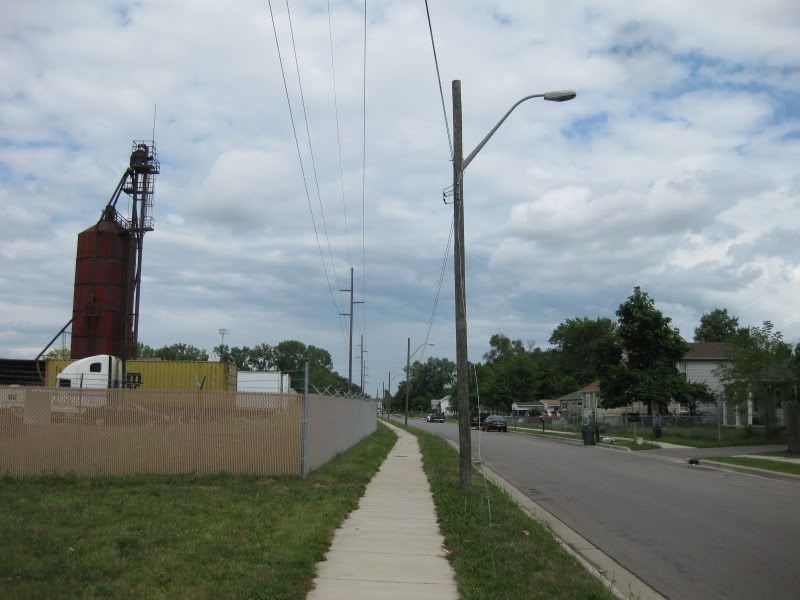
Rather common in numerous Columbus neighborhoods: residential right next to industrial. Smelled kinda funny around here.
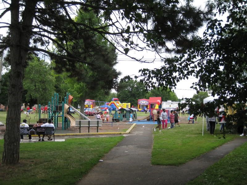
The National Night Out Kickoff.
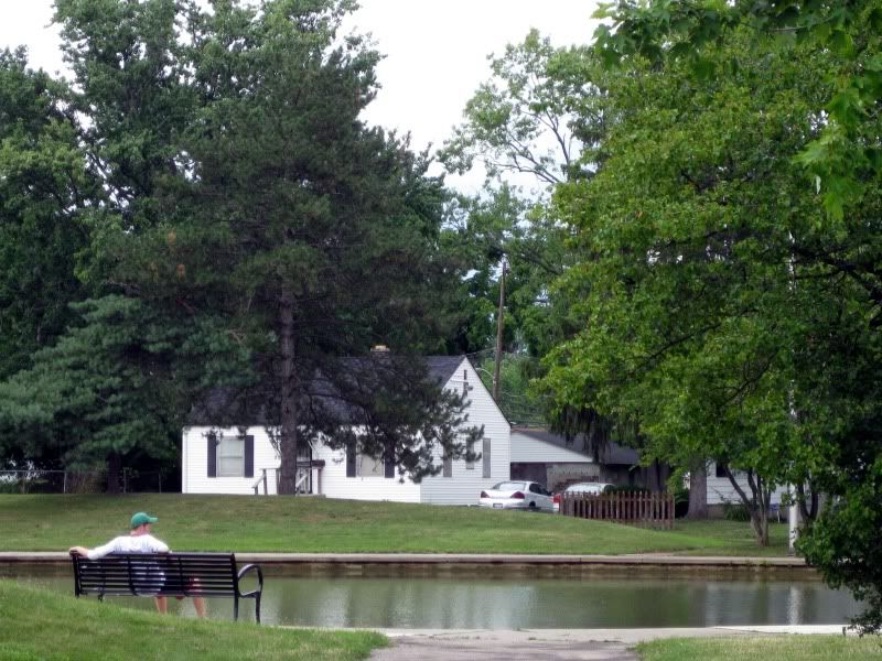
Who knew Krumm Park had a lake? (If you even knew Krumm Park existed)
God. Damn. Cars.
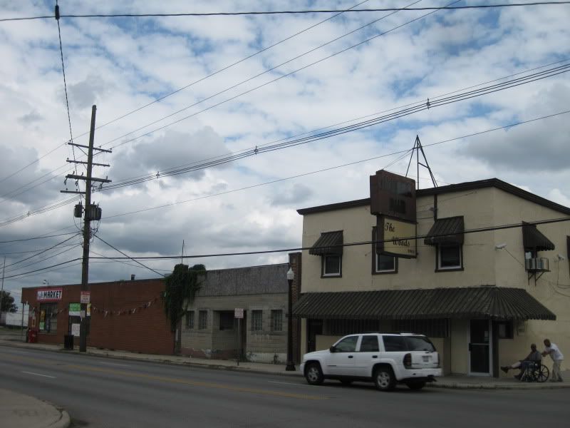
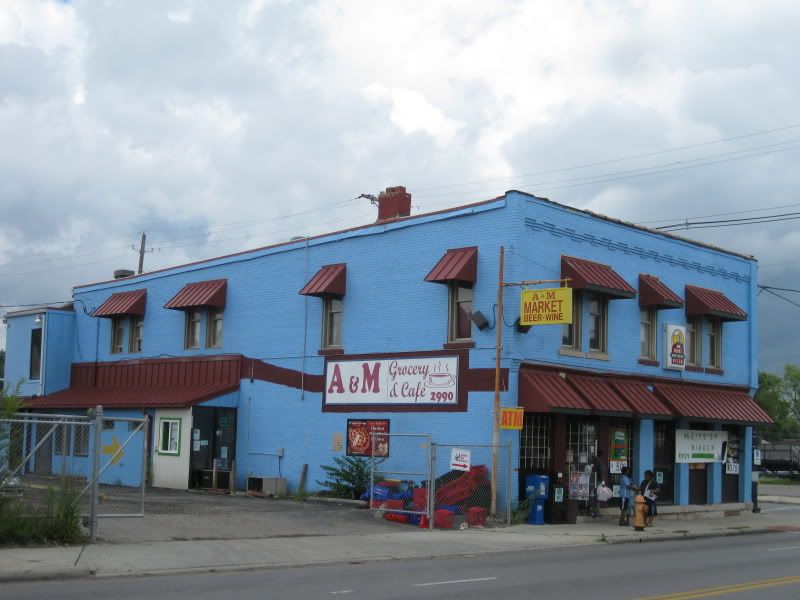
At least there's a market.
I was half tempted to check out the café part.
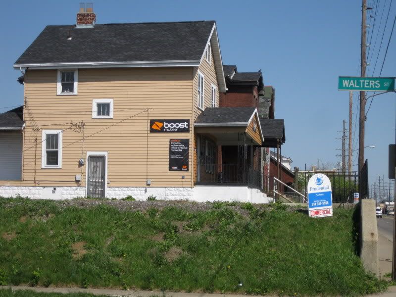
Talk about mixed use. Wow.
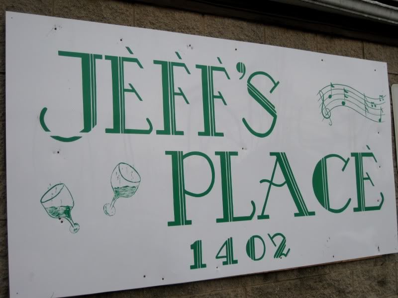
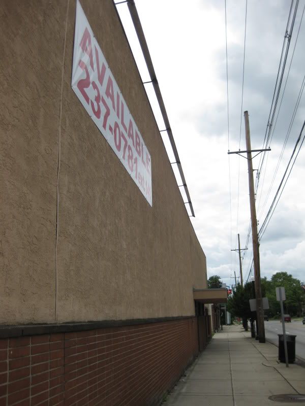
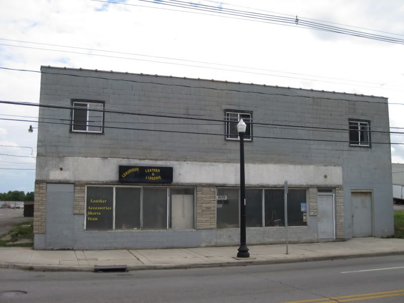
This used to be a bar and the only difference is that the name was on the sign in green lettering. Was I missing out?
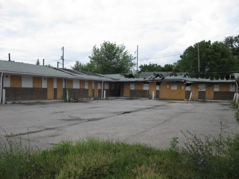
This is one case where a building burning down isn't such a bad thing. Unfortunately, this dumpy motel is poised to come back due to the fire restoration sign not in the picture. If it was a nice building you can be sure we would have found a reason to tear it down for good.
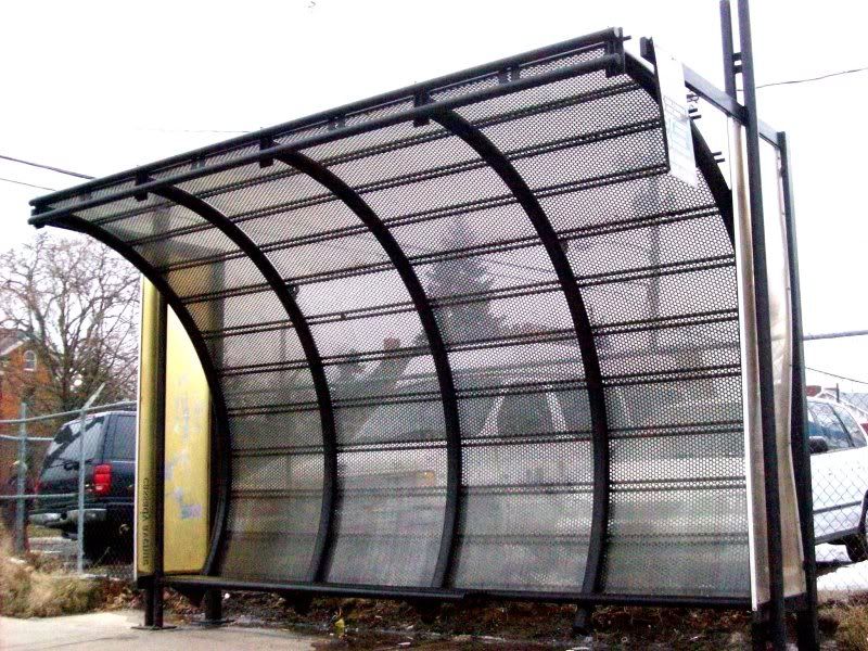
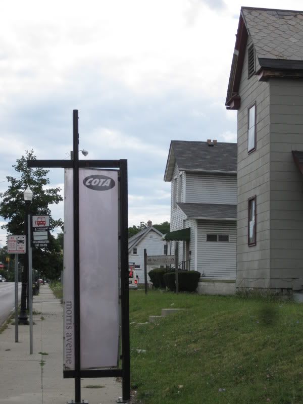
Fancy COTA sign, but how about including, I dunno, a bus schedule?
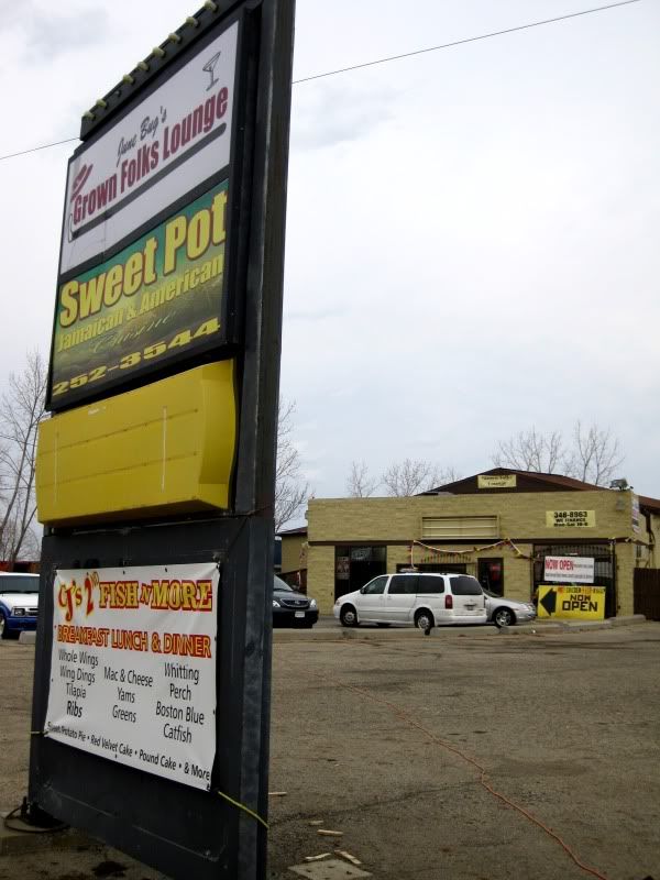
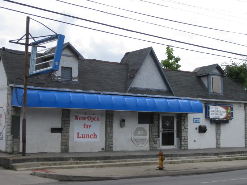
I'm not quite sure what's open for lunch.
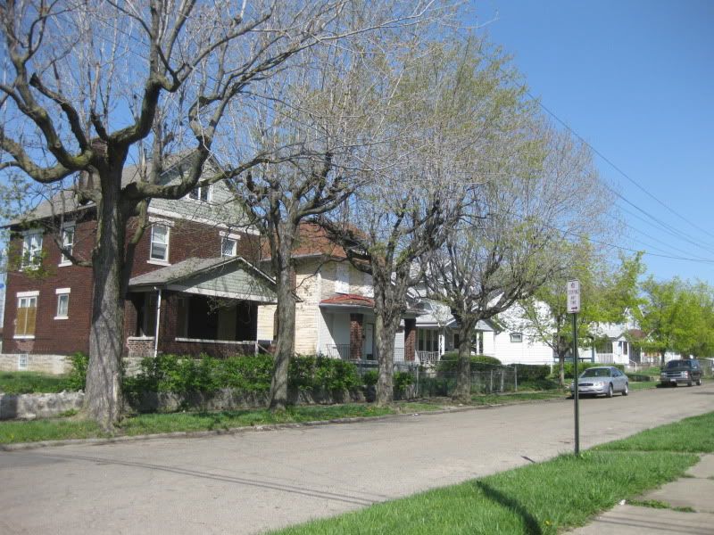
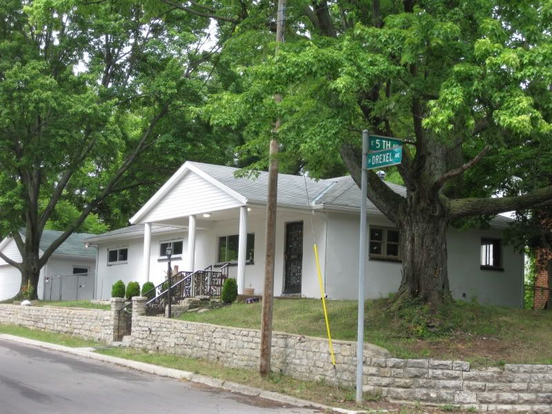
A bit of residential just south of here across the tracks from Bexley. This corner feels the safest.
Milo-Grogan
MAP
A quick recap of Milo-Grogan: traditionally blue-collar neighborhood (lots of Italians) built by the huge railroad yards nearby and saw 1/3 of the neighborhood bulldozed for highways (I-71 splits the neighborhood in half and I-670 acts as a wide buffer on the remaining southern end) and unlike German Village, has not bounced back yet. The neighborhood mainly functions as a stepping stone for suburban commuters speeding through along the highways or suburbanized main streets.
After entering the railroad bridge gateway to the neighborhood there's a bit of an incline. Here you can see where more homes once stood.
It figures that this residential street right that's the link closest to Italian Village would be the first to have a rainbow flag pop up.
Oh, hi doggy.
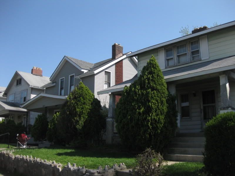
While some homes still need work you can see that a few improvements are going on here and it's doing better than the east half.
Ironic advertising: using the corpse of a dead local business for a McDonald's product that is vastly inferior to what is offered by numerous coffeeshops just west of here.
A common sight here and in the south end of neighboring North Central: industrial abutting residential. The fuschia trees are a nice touch.
This is I-71.
Crossing from this side
to the other side.
I could hear work being done on the highway. How about ODOT spending some of that money on the neighborhood that they helped messed up?
Here's the still usable outdoor area of the neighborhood recreation center. I was even invited to play some b-ball and was kinda tempted, but I was pretty busy.
A couple of businesses on St Clair: a bar and a grocery store (people still complain about Downtown not having a grocery store).
E 5th Ave is the saddest street in Columbus. I just walked half a block east from St Clair and could feel my soul being sucked out by this trash-lined, ugly arterial road.
Mally Gal's Lounge: best bar you never heard of.
I hear this is rather good diner.
See? There's even trash growing on the trees here!
Seriously, E 5th Ave is used as a trashcan by motorists passing through here and traffic is going 50MPH. It needs help real bad and is really nothing more than a mini-highway even though 670 is just a couple blocks south. Now for the NE quadrant continuing up St Clair.
Nice.
Ooh, a new playground.
Heading east...
Umm, where are the sidewalks? What's happening? I think I'll head back to St Clair.
Not quite sure what it is, but I like it.
End of the road.
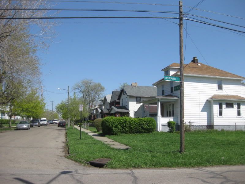
Another traffic calmed street: kids playing in the street and the driver slows down accordingly. I saw quite a few people hanging out on their porches here.
Is that Jewish graffiti on that house?
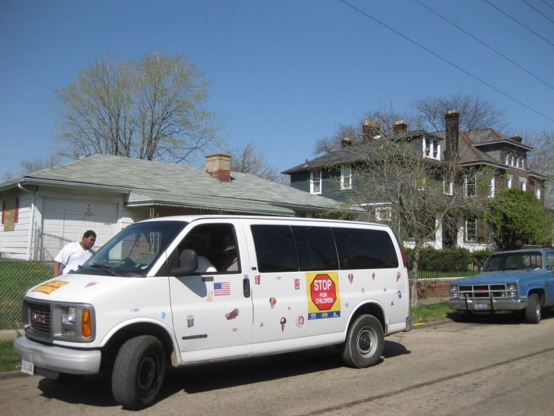
Not a pedestrian-friendly street.
Actually, that's probably not good for those residents' property values. What @ssholes.
Where the sidewalk ends.
Ice cream!
Some of the friendly residents.
And few bonus shots of Cleveland Ave from Fall 09.
North Central
MAP
North Central is a large, unknown neighborhood, one of the most off-the-beaten-path places around. Industrial, rural, residential, ghetto, all rolled into one. It's rather sparsely populated and the city has divided it into several sub-neighborhoods.
(from the city of Columbus *American Addition and Leacrest have been combined in this map into "Amer Crest", probably a typo since there was an article on the area where it's called the easier to pronounce "Americrest")
I covered Devon Triangle and American Addition. So, yeah, here you go.
East Columbus
MAP
The neighborhood of East Columbus (scroll down) tells the same sad story of other near-northeast neighborhoods: industrial and cultural decline, disinvestment from the city, isolation from the city, etc. Maybe I'm not as optimistic, but the only change I saw was very superficial, in the form of new signage. East 5th Ave is still a traffic sewer and businesses have closed while other commercial buildings sit abandoned. I checked out a National Night Out Kickoff event there, but the event took place in a local park tucked away in a residential area, not out on the main street. It takes a good imagination to imagine what it was like in it's heyday, but even a dilapidated neighborhood business district is better than none at all. I mainly focused on E 5th Ave and went off to a couple of residential streets. In the central and northern part are large industrial areas which I only grazed.
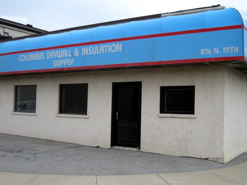
Welcome to East Columbus!
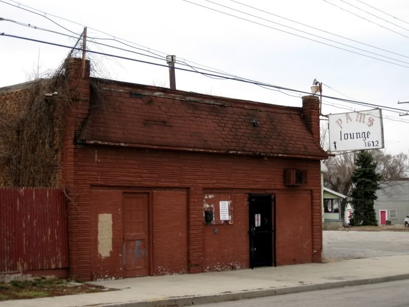
A bar lost in time. Weird place. I recommend stopping in.
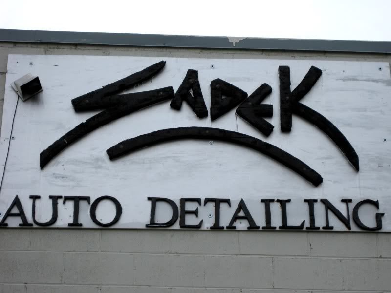
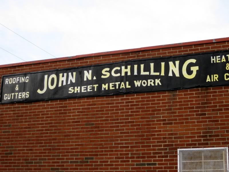
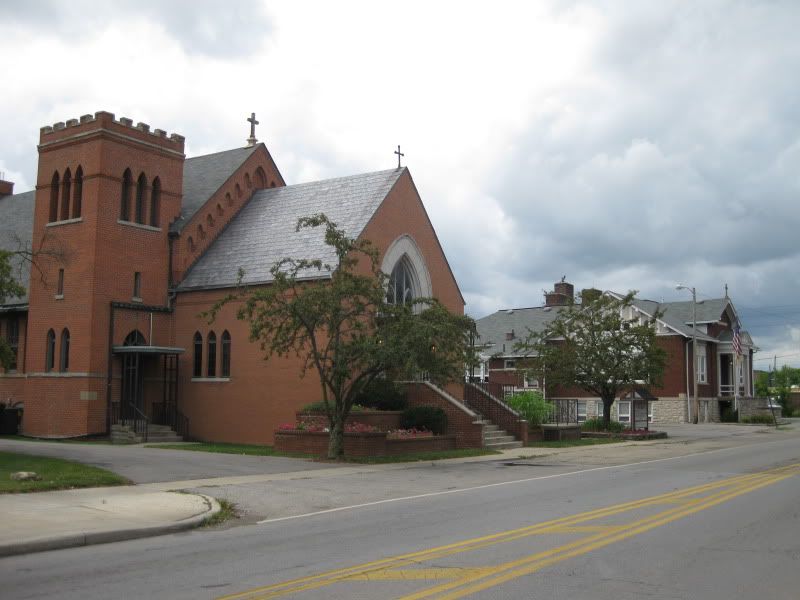
A nice surprise.
Here's another view.
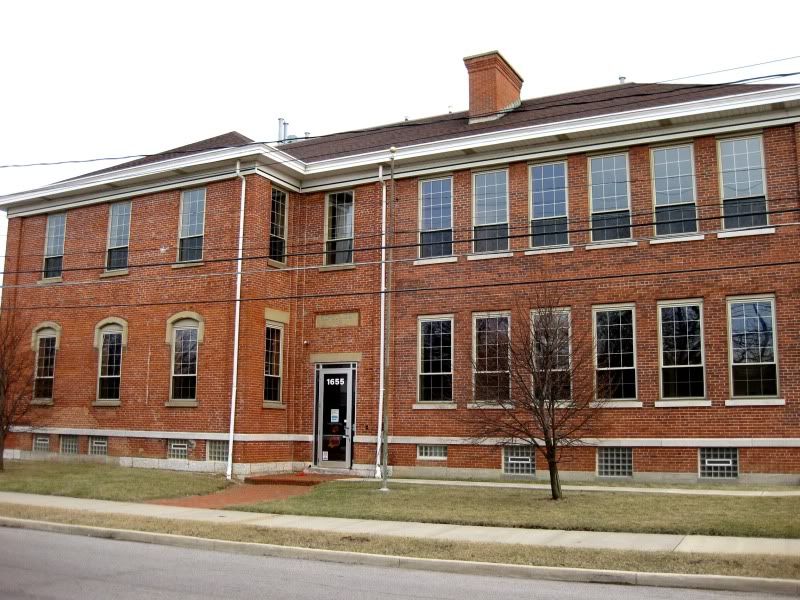
This is pretty cool.
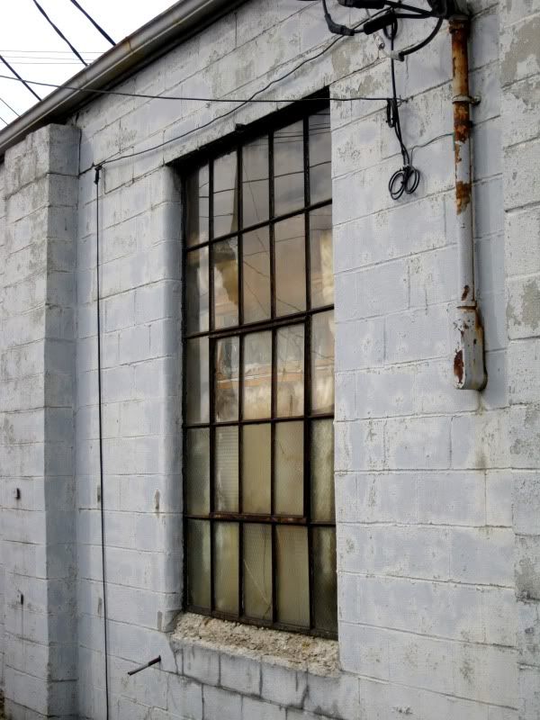
Rather common in numerous Columbus neighborhoods: residential right next to industrial. Smelled kinda funny around here.
The National Night Out Kickoff.
Who knew Krumm Park had a lake? (If you even knew Krumm Park existed)
God. Damn. Cars.
At least there's a market.
I was half tempted to check out the café part.
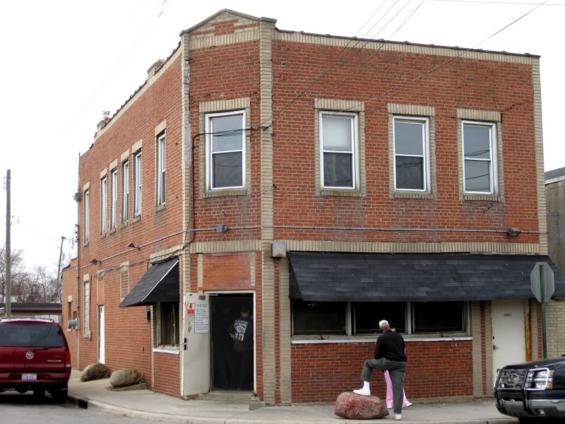
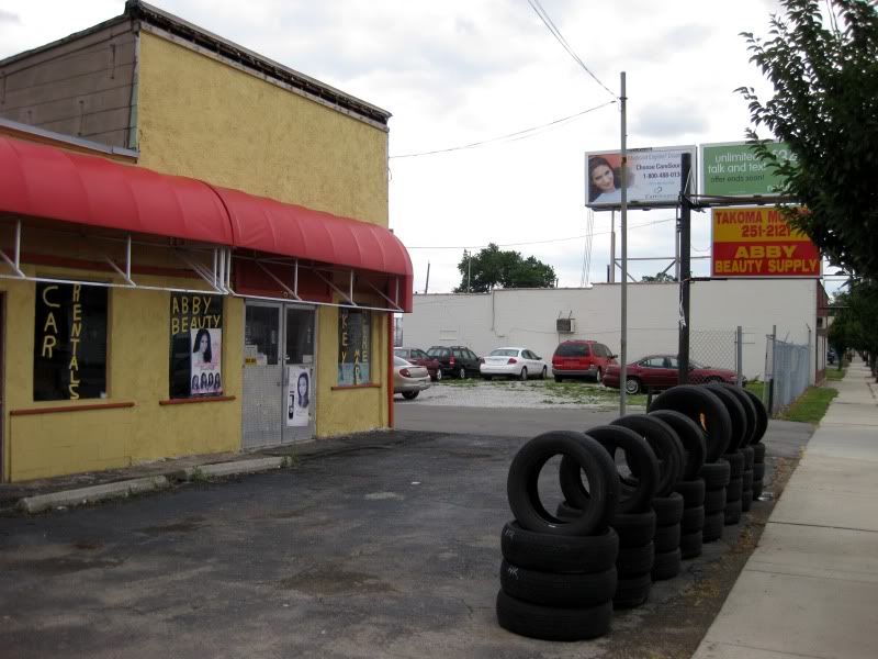
Talk about mixed use. Wow.
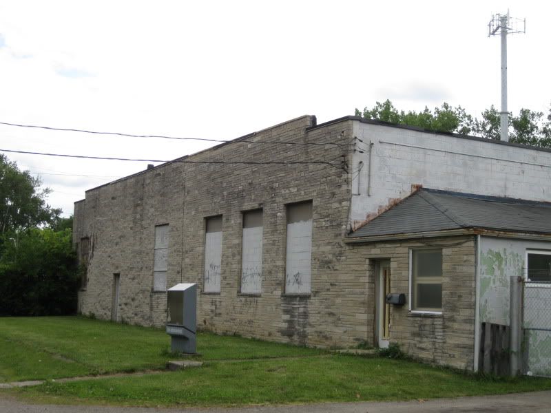
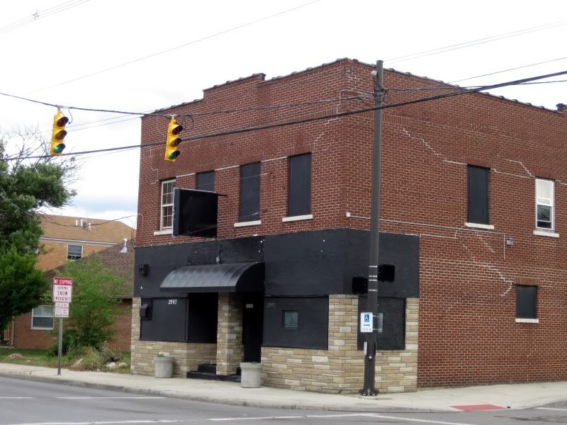
This used to be a bar and the only difference is that the name was on the sign in green lettering. Was I missing out?
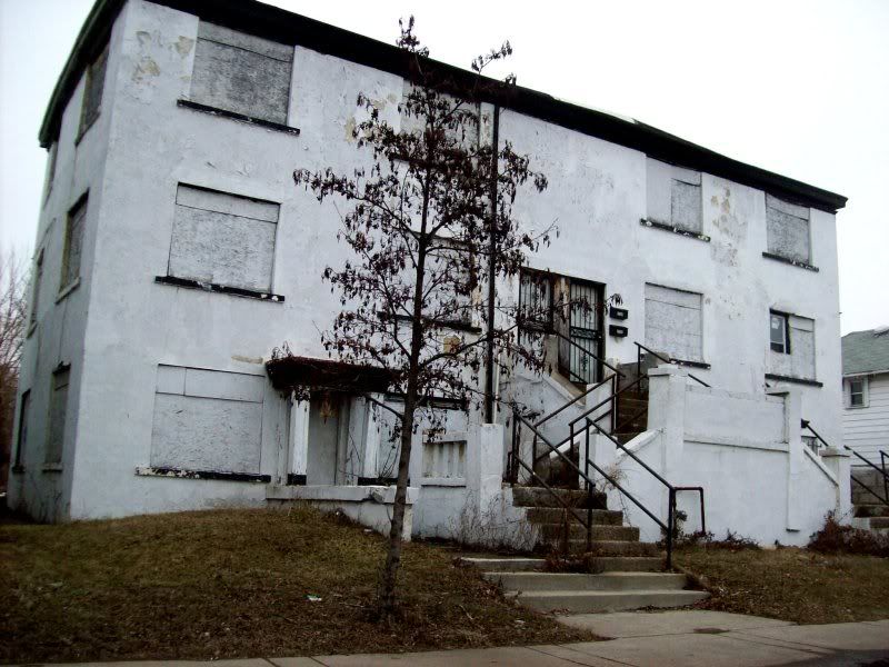
This is one case where a building burning down isn't such a bad thing. Unfortunately, this dumpy motel is poised to come back due to the fire restoration sign not in the picture. If it was a nice building you can be sure we would have found a reason to tear it down for good.
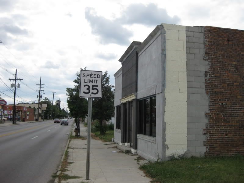
Fancy COTA sign, but how about including, I dunno, a bus schedule?
I'm not quite sure what's open for lunch.
A bit of residential just south of here across the tracks from Bexley. This corner feels the safest.